Filtered by:
- Category
- List
- Grid
A subscription to the Price Guide is required to view results for auctions ten days or older. Click here for more information
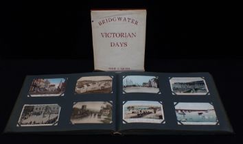

AN EDWARDIAN POSTCARD ALBUM; DORSET, SOMERSET and others, including views of Dorchester, Bridgwater, Bruton, 'Bungalow Town' West Bay etc, and a s...
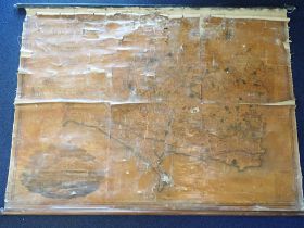
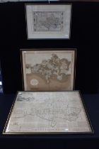
A MAP OF THE COUNTY OF DORSET, BY GREENWOOD, PRINGLE & Co 1826, laid to canvas, rolled and fixed to battens 160cm wide (poor condition; affected b...
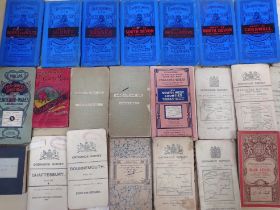
A QUANTITY OF VINTAGE ORDNANCE SURVEY MAPS including Bartholomew's Tourists and cyclists, Manoeuvre maps 1910 and others
EMAN. BOWEN: ACCURATE MAP OF DEVONSHIRE divided into Hundreds (rolled, torn), and a collection of various unframed maps, including Dorset maps, on...
H. MOLL: TWO MAPS OF GREAT BRITAIN presented as 'The North Part' and 'The South Part' (framed together), with various other antique and reproducti...
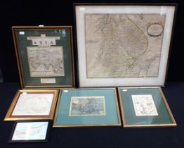
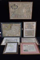
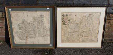
ROBERT MORDEN: MAP OF LINCOLNSHIRE and other antiquarian maps, Asia, India etc (6)
EMAN. BOWEN; AN ACCURATE MAP OF DORSETSHIRE' coloured, with John Cary's , and H. Moll's maps of Dorset, all framed (3) (some damage and discolouri...
JOHN SPEED: MAP OF WILTSHIRE ('WILSHIRE') coloured, double-glazed with text visible, with Morden's and Moll's maps of Wiltshire , all framed (some...
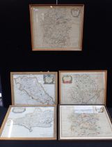
ROBERT MORDEN: FIVE COUNTY MAPS
ROBERT MORDEN: FIVE COUNTY MAPS Wiltshire (2), Monmouth, Dorsetshire, and Northamptonshire, variously coloured and framed (some damage and discolo...
EMAN. BOWEN: 'AN ACCURATE MAP OF THE COUNTY OF SURREY' coloured, with C.Smith, 'A New Map of the County of Surrey', both framed (2) (some damage a...
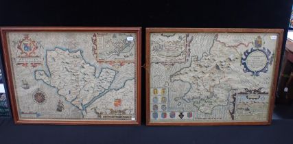
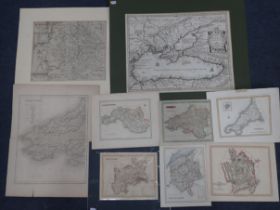
JOHN SPEED; MAP OF ANGLESEY
JOHN SPEED; MAP OF ANGLESEY 'Antiently called Mona', and another 'Penbrokshyre' (both coloured, framed) (2)
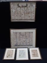
JOHN OGILBY: A ROAD MAP 'LONDON TO WEYMOUTH' (part) and another; 'London to Portsmouth', and three smaller road maps (5)
SAXTON AND KIP: MAP OF WARWICKSHIRE with Abraham Ortelus, map of the Black Sea ('Pontus Euxinus') , and other old maps (all unframed)
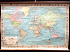
STANFORD'S GENERAL MAP OF THE WORLD 1961 George Philip and Son, rolled on battens 104cm wide
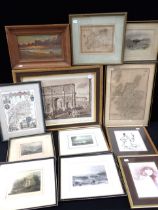
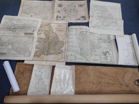
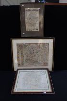
A COLLECTION OF PICTURES, PRINTS AND MAPS mostly 19th century (12)