


Ray-Ban Unisex Sunglasses Black Round Double Bridge Black Frame- appear unworn examples with as pictured all relevant original paperwork and packa...
Collectables Auctions
Explore an enormous array of collectables auctions on the UK's leading online auction marketplace. Browse models, toys, dolls, games, arms, armour, militaria, books & periodicals, sporting equipment & memorabilia, musical instruments, stamps, coins, classic cars & motorcycles, camera & camera equipment, wines & spirits, maps, religious items & folk art, banknotes, entertainment memorabilia, and more. With so many reputable auction houses selling on the saleroom, you can find the collectables auctions you're looking for and more. Use tools like watch lists, auction alerts, filters, and more to speed up your search and compete in live and timed auctions. Place winning bids on the items that match your criteria and get your next collectable on the saleroom.
Popular categories
Musical Instruments & Memorabilia
Bank Notes
Cameras & Photography Equipment
Entertainment Memorabilia
Kitchenalia
Toys & Games
Railwayana
Religious Items & Folk Art
Scientific Instruments
Writing Instruments
Sports Memorabilia & Equipment Auctions
Collectable Stamps
Tools
Taxidermy
Arms, Armour & Militaria
Vintage Wine & Spirits
Featured auctions
Upcoming auctions
954 item(s)
Filtered by:
- Category
- List
- Grid
-
954 item(s)/page

Lot 714
Massief zilveren troffee 'Drag Hunt Steeplechase Alag, 1902 November 8' geschonken aan 'A Masodik Lo
Massief zilveren troffee 'Drag Hunt Steeplechase Alag, 1902 November 8' geschonken aan 'A Masodik Lo Lovasanak', in de vorm van een schaal met bas...

Handcol. engr., 47 x 57 cm, depicting an armillary sphere, a celestial globe and a terrestrial globe, Nuremburg, J.B. Homann, ca. 1720, framed und...

Du déjeuner Pullman au diner. Paris-Bruxelles-Amsterdam. Paris, Hachard & Cie, 1927. 106 x 75 cm. Corners and minor dam. to folds, professionally ...

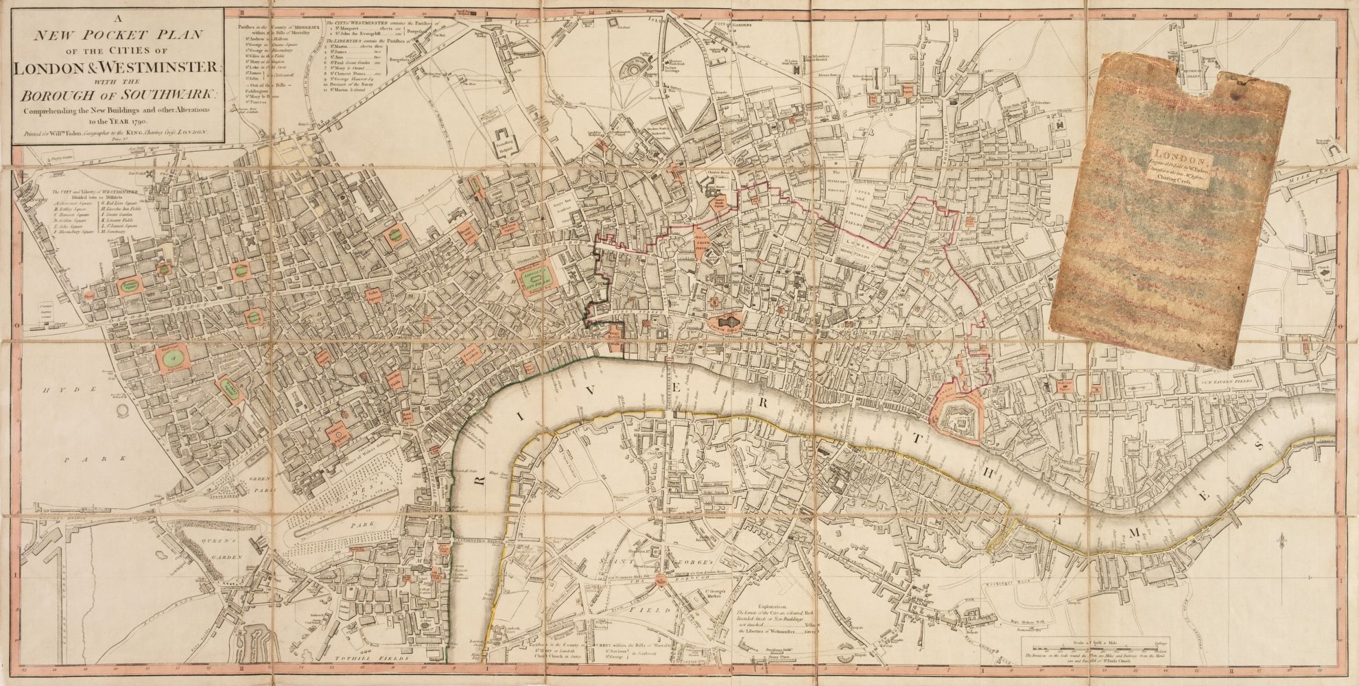
Title: Pre-War London Postal Districts and Sub-Districts Coloured Detailed Map-184. Description: Pre-War London Postal Districts and S...

Lot 1895
Spanish 'piece of eight' 8 reale coin, recovered from the site of the wreck of HMS Association on
Spanish 'piece of eight' 8 reale coin, recovered from the site of the wreck of HMS Association on Gilstone Ledges, Isles of Scilly

David Michael Jones (1895-1974) Map of the Third Voyage wood engraving 19 x 16cm.

Lot 16
SPEED (JOHN) The Kingdome of China Newly Augmented by I.S. 1626, Thomas Bassett and Richard Chis...
SPEED (JOHN) The Kingdome of China Newly Augmented by I.S. 1626, hand-coloured engraved map, decorated borders with eight costumed figures in ve...

Lot 337
Speed, John
Speed, John The Invasions of England and Ireland with al [sic] their Civill Wars since the Conquest Performed by John Speed and are to be solde ...
![AFRICA BLAEU (WILLEM) Africae nova descriptio, [c. 1630 or later]](https://portal-images.azureedge.net/auctions-2024/bonham10791/images/d70693cb-2c26-42a3-9d72-b17a010d6222.jpg?w=155&h=155)
AFRICA BLAEU (WILLEM) Africae nova descriptio, hand-coloured engraved double-page map, 10 costumed figures on the vertical margins and 9 oval vi...

Lot 22
SOCIETY FOR THE DIFFUSION OF USEFUL KNOWLEDGE The Complete Atlas of Modern, Classical and Celest...
SOCIETY FOR THE DIFFUSION OF USEFUL KNOWLEDGE The Complete Atlas of Modern, Classical and Celestial Maps, together with Plans of the Principal Cit...

Lot 67
MAP OF LONDON, circa 1850, compiled and engraved by Edward Weller, FRGS overall 210cm x 158cm H, red
MAP OF LONDON, circa 1850, compiled and engraved by Edward Weller, FRGS overall 210cm x 158cm H, red lion square, framed and glazed in optimum Mus...

Lot 293
A GEORGE III MAP SAMPLER, 1786, worked in coloured silks on a loosely woven ground with a map of
A GEORGE III MAP SAMPLER, 1786, worked in coloured silks on a loosely woven ground with a map of England and Wales by Sarah Rushton of Macc(lesfie...

Historical map set from 1839-1866 in box Historical map set in original box from 1839, maps hinged with gray cloth binding. Beautiful condition, ...

Lot 20
NORFOLK and SUFFOLK - SPEED (JOHN) Norfolk and Sufolk, 2 double-page engraved maps with outline ...
NORFOLK and SUFFOLK SPEED (JOHN) Norfolk, a Countie Florishing & Populous Described and Devided with the Armes of such Noble Familes as have Borne...

Lot 326
Edward Stanford, City of Victoria Vancouver Island water-colour tinted engraved map, dissected and
Edward Stanford, City of Victoria Vancouver Island water-colour tinted engraved map, dissected and laid of cotton, cloth covered boards with prin...

Lot 128
AFRICA DE WIT (FREDERICK) Totius Africae Accuratissima Tabula,Amsterdam, Frederick de Wit, [c.16...
AFRICA DE WIT (FREDERICK) Totius Africae Accuratissima Tabula, hand-coloured double-page engraved map, decorative title cartouche, animal vignet...

Lot 132
EAST AFRICA DE WIT (FREDERICK) Occidentalior Tractus Indiarum Orientalium a Promontorio Bonae Sp...
EAST AFRICA DE WIT (FREDERICK) Occidentalior Tractus Indiarum Orientalium a Promontorio Bonae Spei ad C. Comorin, hand-coloured engraved double-...

A WWII Second World War British ' escape ' silk map of Eastern Europe & Greece sheets 43 H and G. Scale 1;100,000. Folds to pocket handkerchief si...

Lot 334
Speed, John
Speed, John Cambridgeshire described with the devision of the hundreds, The Townes situation, with the Armes of the Colleges Of that famous Univ...
![SPEED (JOHN) Yorkshire; The North and East Ridins of Yorkshire; West Ridinges, [c.1730], hand-co...](https://portal-images.azureedge.net/auctions-2024/bonham10855/images/38d5b31b-fc81-4c30-82bb-b179011a54ac.jpg?w=155&h=155)
Lot 24
SPEED (JOHN) Yorkshire; The North and East Ridins of Yorkshire; West Ridinges, [c.1730], hand-co...
SPEED (JOHN) Yorkshire; The North and East Ridings of Yorkshire, inset plans of Hull and Richmond ; The West Ridinge of Yorkeshyre with Most Fam...

Lot 15
Assorted books
Assorted books inc. Building Construction, Drainage Sanitation, Voyage Round the World, Legends of Monastic Orders, Holy Sacrament 1701 and 3 Ordn...

Lot 124
AFRICA MUNSTER (SEBASTIAN) Africa Lybia Morenlandt mit allen königreichen so zu unsern zeit...
AFRICA MUNSTER (SEBASTIAN) Africa Lybia Morenlandt mit allen königreichen so zu unsern zeiten darin gefunden werden, hand-coloured woodcut map, ...

AFRICA HONDIUS (HENRICUS) Africae nova Tabula, double-page hand-coloured engraved map, numerous ships, sea-monsters, animals (elephants, lions, ...

Lot 211
THAILAND AND EAST ASIA TACHARD (GUY) Reis Na Siam, Amsterdam, A.D. Oossaan, 1687; and 11 others ...
THAILAND and EAST ASIA TACHARD (GUY) Reis Na Siam edaan door den Ridder de Chaumont, in't Nederduitsch gebracht door G. V. Broekhuizen, addition...

2 SA Soldaten mit Hund Lineol und Elastolin, 7,5-cm-Serie, SA, Lineol Fahnenträger ohne Fahne; Lineol Maschierer; Elastolin Sanitäts-Hund; min. A...

A collection of seven 20th century Conic Projection maps together with another. The lot to include: the map of Iran (Persia) scale 1:4,000,000 pla...

Lot 328
Warwickshire, three antique framed maps of Warwickshire, including; Bowen & Owen Warwickshire,
Warwickshire, three antique framed maps of Warwickshire, including; Bowen & Owen Warwickshire, Warwickshire by Christopher Saxton from Camden’s Br...

Lot 2506
1970s London Underground poster
1970s London Underground map poster

Lot 314
JOHN SPEED. A engraved map of 'The Kingdom of England' (after Christopher Saxton), 15 x 20 in
JOHN SPEED. A engraved map of 'The Kingdom of England' (after Christopher Saxton), 15 x 20 in

Lot 315
JOHN SPEED. Engraved map of the Isle of Wight, sold by Thomas Basket in Fleet Street and Richard
JOHN SPEED. Engraved map of the Isle of Wight, sold by Thomas Basket in Fleet Street and Richard Chiswell in St Paul's Churchyard, hand coloured, ...

Collection of unframed early 20th century and later folding OS maps and part maps, to include John Cary (British 1754-1835): 'Cary's Map of the Co...

Lot 130
WEST AFRICA DE WIT (FREDERICK) Tractus Littorales Guineae a Promontorio Verde usque ad Sinum Cat...
WEST AFRICA DE WIT (FREDERICK) Tractus Littorales Guineae a Promontorio Verde usque ad Sinum Catenbelae, hand-coloured engraved double-page map,...
![CHATELAIN (HENRY ABRAHAM)] Atlas historique... vol. 6 (with Africa section only), 1719; and 3 ot...](https://portal-images.azureedge.net/auctions-2024/bonham10791/images/042d00a5-0aa0-4a70-95b3-b17a010d9cce.jpg?w=155&h=155)
Lot 156
CHATELAIN (HENRY ABRAHAM)] Atlas historique... vol. 6 (with Africa section only), 1719; and 3 ot...
[CHATELAIN (HENRY ABRAHAM)] Atlas historique, ou nouvelle introduction a l'histoire..., vol. 6 (with Africa section only), title printed in red ...

Railwayana - a collection of assorted Railway maps and posters comprising; Alan Young illustrated railway map of the South West, Great Orme Tramwa...

A collection of approximately x80 RAF Royal Air Force and wartime OS maps comprising x20 RAF maps from the 1939-45 period including maps of Englan...

Lot 23
SPEED (JOHN) AND WILLEM BLAEU Pictorial title-pages to Speed's 'Theatre of the Empire of Great B...
SPEED (JOHN) AND WILLEM BLAEU Pictorial title-pages to Speed's 'Theatre of the Empire of Great Britain', 1650, and Blaeu's 'Le Théâtre du Monde......

Lot 2276
WW2 British Escape and Evasion Silk Map Sheet 43E / 43F. Double sided in colour covering Germany and
WW2 British Escape and Evasion Silk Map Sheet 43E / 43F. Double sided in colour covering Germany and central Europe on one side and Croatia and th...

Ptolemy Erlington, British b.1965 - Lemon Sole; found hubcaps, H47 x L70 x D20 cm (ARR)

Lot 8614
Three folding cloth bound maps
Three folding cloth bound maps, North Eastern Railway System, including Map Shewing the Lines of the North Eastern System of Railways, 1866, C.R. ...

Lt Col. Valentine Blacker CB. (British, 1778-1826) Satara from the NNE inscribed and dated '11th February 1818' pen & ink 23 x 14cm (9 1/16 ...

Lot 127
AFRICA L'Afrique suivant les dernières observations de M. Hass... Paris, Georges-Louis Le R...
AFRICA L'Afrique suivant les dernières observations de M. Hass et des RR. PP. Jésuites, engraved map with hand-coloured outlines, light toning,4...
![WEST AFRICA HONDIUS (JODOCUS) Guineae Nova Descriptio, [Amsterdam, after 1619]; BLAEU (WILLEM) G...](https://portal-images.azureedge.net/auctions-2024/bonham10791/images/60cf56e9-8579-461d-a2ef-b17a010d721a.jpg?w=155&h=155)
Lot 129
WEST AFRICA HONDIUS (JODOCUS) Guineae Nova Descriptio, [Amsterdam, after 1619]; BLAEU (WILLEM) G...
WEST AFRICA HONDIUS (JODOCUS) Guineae Nova Descriptio, hand-coloured engraved double-page map, title cartouche and inset map of St. Thomas, Fren...

Lot 131
ETHIOPIA ORTELIUS (ABRAHAM) Presbiteri Iohannis, sive, Abissinorum Imperii Descriptio, [1573 or ...
ETHIOPIA ORTELIUS (ABRAHAM) Presbiteri Iohannis, sive, Abissinorum Imperii Descriptio, hand-coloured engraved double-page map, large cartouche w...

Lot 149
BERNADIN DE SAINT PIERRE (JACQUES) A Voyage to the Isle of France, the Isle of Bourbon, and the ...
BERNADIN DE SAINT PIERRE (JACQUES) A Voyage to the Isle of France, the Isle of Bourbon, and the Cape of Good Hope, half-title, 4 hand-coloured f...

Lot 199
ROGERS (WOODES) A Cruising Voyage Round the World: First to the South-Sea, thence to the East-In...
ROGERS (WOODES) A Cruising Voyage Round the World: First to the South-Sea, thence to the East-Indies, and Homewards by the Cape of Good Hope, Begu...

Johannes Blaeu, county map Comitatus Caernarvo: Niensis Vernacule Caernarvon-shire et Mona Insula vulgo Anglesey, approx 52 x 40 cms. (Map of Cae...

A charming George III silk work map of England and Wales, by Elizabeth Honeley 1784, stitched on linen, approx 40.5 x 49 cms, framed and glazed.

A Framed 19th Century Oval Silk-work Sampler; Map of England & Wales: the counties stitched in black and framed by an undulating border trail of c...

Lot 1013
A WWI Imperial German nautical chart of the North Sea 'Nordsee Die Hoofden', approx. 46 x 43 ins
1013A WWI Imperial German nautical chart of the North Sea 'Nordsee Die Hoofden', approx. 46 x 43 ins
A WWI Imperial German nautical chart of the North Sea 'Nordsee Die Hoofden', approx. 46 x 43 ins

Lot 4
BLAEU (WILLEM AND JAN) Toonneel des Aerdrycks oft Nieuwe Atlas...Vierde Deel, Amsterdam, Jan Bla...
4BLAEU (WILLEM AND JAN) Toonneel des Aerdrycks oft Nieuwe Atlas...Vierde Deel, Amsterdam, Jan Bla...
BLAEU (WILLEM AND JAN) Toonneel des Aerdrycks oft Nieuwe Atlas...Vierde Deel, engraved title and 58 engraved maps, marginal damp-staining, small...

Lot 3
BLAEU (WILLEM AND JAN) Toonneel des Aerdrycz, oft Nieuwe Atlas... Tweede Deels, 2 parts in 1 vol...
3BLAEU (WILLEM AND JAN) Toonneel des Aerdrycz, oft Nieuwe Atlas... Tweede Deels, 2 parts in 1 vol...
BLAEU (WILLEM AND JAN) Toonneel des Aerdrycz, oft Nieuwe Atlas... Tweede Deels, 2 parts in 1 vol., engraved architectural and allegorical titles...


Framed Map of Sokotra in the Indian Ocean

Lot 52
17th/18th century hand coloured engraved map of Suffolk, 9cm x 12.5cm, in double-sided glazed frame
17th/18th century hand coloured engraved map of Suffolk, 9cm x 12.5cm, in double-sided glazed frame

A large quantity of colouring pencils

A large quantity of colouring pencils

Lot 315
After George Taylor (1760 - 1788) The Road from Elvanfoot to Dumfries Antique hand-coloured plate
315After George Taylor (1760 - 1788) The Road from Elvanfoot to Dumfries Antique hand-coloured plate
After George Taylor (1760 - 1788) The Road from Elvanfoot to Dumfries Antique hand-coloured plate map, to reverse 'The Road from Glasgow to Longto...

EMAN. BOWEN: ACCURATE MAP OF DEVONSHIRE divided into Hundreds (rolled, torn), and a collection of various unframed maps, including Dorset maps, on...

Ptolemy Erlington, British b.1965 - Half Break; found hubcaps, H21 x L110.5 x D36 cm (ARR)