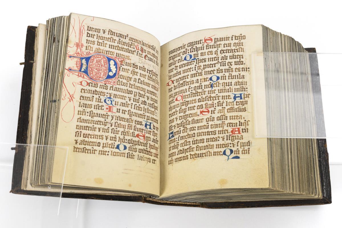


A Good Philips 4in Terrestrial Globe, English, c.1870 (as the globe shows the Sandwich islands and 'the dominion of Canada' indicating an age of c...
Collectables Auctions
Explore an enormous array of collectables auctions on the UK's leading online auction marketplace. Browse models, toys, dolls, games, arms, armour, militaria, books & periodicals, sporting equipment & memorabilia, musical instruments, stamps, coins, classic cars & motorcycles, camera & camera equipment, wines & spirits, maps, religious items & folk art, banknotes, entertainment memorabilia, and more. With so many reputable auction houses selling on the saleroom, you can find the collectables auctions you're looking for and more. Use tools like watch lists, auction alerts, filters, and more to speed up your search and compete in live and timed auctions. Place winning bids on the items that match your criteria and get your next collectable on the saleroom.
Popular categories
Musical Instruments & Memorabilia
Bank Notes
Cameras & Photography Equipment
Entertainment Memorabilia
Kitchenalia
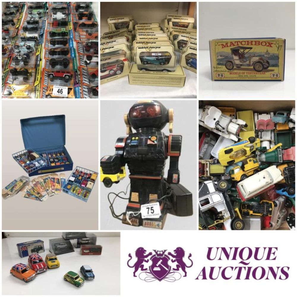
Toys & Games
Railwayana
Religious Items & Folk Art
Scientific Instruments
Writing Instruments
Sports Memorabilia & Equipment Auctions
Collectable Stamps
Tools
Taxidermy
Arms, Armour & Militaria
Vintage Wine & Spirits
Featured auctions
Upcoming auctions
479 item(s)
Filtered by:
- Category,
- Auction Type
- List
- Grid
-
479 item(s)/page

Handcol. engr., 47 x 57 cm, depicting an armillary sphere, a celestial globe and a terrestrial globe, Nuremburg, J.B. Homann, ca. 1720, framed und...

Du déjeuner Pullman au diner. Paris-Bruxelles-Amsterdam. Paris, Hachard & Cie, 1927. 106 x 75 cm. Corners and minor dam. to folds, professionally ...

Räths Welthandels-Weltverkehrsglobus, Paul Räth (1881-1929), large paper globe with countries, continents and trade roots, descriptions, colour pr...

David Michael Jones (1895-1974) Map of the Third Voyage wood engraving 19 x 16cm.

Lot 1895
Spanish 'piece of eight' 8 reale coin, recovered from the site of the wreck of HMS Association on
Spanish 'piece of eight' 8 reale coin, recovered from the site of the wreck of HMS Association on Gilstone Ledges, Isles of Scilly

Lot 337
Speed, John
Speed, John The Invasions of England and Ireland with al [sic] their Civill Wars since the Conquest Performed by John Speed and are to be solde ...

Map of Sea Monsters and Fantastical Beasts [Sea Monsters] : " Meerwunder und Seltzame Their ", (often referred to as "Munsters Monsters") by Sebas...

An Islamic Painting of the Map of Hajj. Approximately 55.5x40.7cm


TWO ANTIQUE MAPS comprising A General Map of South Wales by Richard Blome, and a map of Cambridgeshire with text verso (2) Provenance: private ...

Lot 334
Speed, John
Speed, John Cambridgeshire described with the devision of the hundreds, The Townes situation, with the Armes of the Colleges Of that famous Univ...

Lot 209
A Sifton Praed & Co. Ltd. leather cased set of Bartholomew's Road Maps for England and Wales, sheets
A Sifton Praed & Co. Ltd. leather cased set of Bartholomew's Road Maps for England and Wales, sheets 1-8 and 10-12.

Lot 399
Map of 'Merionethshire' by John Speed, circa 1610, 43cm x 52cm, unframed and a map of 'The Fennes'
Map of 'Merionethshire' by John Speed , circa 1610, 43cm x 52cm, unframed and a map of 'The Fennes' by Ioannis Ianbonii, circa 1650, 44cm x 56cm...

Lot 80
Cary, John "Cary's Traveller's Companion or a Delineation of the Turnpike Roads of England and
Cary, John "Cary's Traveller's Companion or a Delineation of the Turnpike Roads of England and Wales....." London Printed for John Cary Map and P...

Lot 21
A map of Holy Island
A map of Holy Island : "Insvla Sacra Vulgo Holy Island et Farne", by Blaeu, hand-tinted, in frame.

Lot 460
JOHN SPEED, AN 18TH CENTURY HAND COLOURED MAP OF NORTHAMPTONSHIRE With text to reverse chapter 28
460JOHN SPEED, AN 18TH CENTURY HAND COLOURED MAP OF NORTHAMPTONSHIRE With text to reverse chapter 28
JOHN SPEED, AN 18TH CENTURY HAND COLOURED MAP OF NORTHAMPTONSHIRE With text to reverse chapter 28 book 1, together with a receipt from Boydell Gal...

Lot 293
A GEORGE III MAP SAMPLER, 1786, worked in coloured silks on a loosely woven ground with a map of
A GEORGE III MAP SAMPLER, 1786, worked in coloured silks on a loosely woven ground with a map of England and Wales by Sarah Rushton of Macc(lesfie...

Lot 539
FIVE BOXES OF MIXED SUNDRIES to include an extensive array of 1930s Ordnance Survey Road Maps of the
FIVE BOXES OF MIXED SUNDRIES to include an extensive array of 1930s Ordnance Survey Road Maps of the Midlands, South of England, and Wales, a smal...

BUTLER, Samuel. An Atlas of Ancient Geography, complete with 21 copper-engraved maps, hand-coloured in outline, internally well-preserved with cre...

Lot 18
Maps of the Canary Islands
Maps of the Canary Islands comprising : "The Canarie Islands" by Robert Morden, "Les Isles Canaries" by Robert de Vangondy, "Isle Canaries" by Pie...

A folding map of Yorkshire, by Henry Teesdale and C. Stocking , 1828, hand-coloured and linen-backed in solander box-case; together with a foldin...

Lot 8
Maps of Yorkshire
Maps of Yorkshire , by John Speede, comprising: "The West Ridinge of Yorkeshyre", and "The North and East Ridins of Yorkshire", hand-tinted, in fr...

A map of "Holy Island Staples and Barwick", dedicated and presented to Capt. Will Davies by Capt. Greenvil Collins, to the King, hand tinted, in ...

A folding map of the County of Edinburgh, by Thomas Sharp, C. Greenwood and William Fowler , 1828 with hand colouring and linen-backed in gilt, em...

Lot 203
JOHN SPEEDE (1552-1629) YORKSHIRE circa 1610 double page, engraved and hand-tinted, with coat of
JOHN SPEEDE (1552-1629) YORKSHIRE circa 1610 double page, engraved and hand-tinted, with coat of arms, scale and cartouche, glazed and text verso,...

Lot 185
FLEMING, IAN - ON HER MAJESTY'S SECRET SERVICE, 3rd imp 1963, pub. Jonathan Cape, London, col
FLEMING, IAN - ON HER MAJESTY'S SECRET SERVICE, 3rd imp 1963, pub. Jonathan Cape, London, col prtd, d/w

Lot 1231
Signed limited edition map of the West Riding of Yorkshire from the Domesday book by John Garnons
Signed limited edition map of the West Riding of Yorkshire from the Domesday book by John Garnons Williams, 1986, 229/950, 41 x 52cm; and a 1992 c...

Lot 1223
C17th map of Saxton-Monmouth Monumethenis by Kip & Hole circa 1637, uncoloured and unframed, 39cm
C17th map of Saxton-Monmouth Monumethenis by Kip & Hole circa 1637, uncoloured and unframed, 39cm x 32.5cm

An East London Bus map on board, dated April 1984, 25 1/4 x 40 1/2".
![An antique South America school map no568 by Georg Westermanns [119x90.5cm]](https://portal-images.azureedge.net/auctions-2024/three-10000/images/316d98a7-1a54-4600-86a1-b17e00f85a20.jpg?w=155&h=155)
An antique South America school map no568 by Georg Westermanns [119x90.5cm]

An 1818 Langley's new map of Norfolk, framed and glazed. 27.5 cm x 20.5 cm.

A quantity of pictures, map and similar

John Speede, a double sided hand coloured engraved map of Wales, twelve oval vignettes of principal cities to the margins and inset views of Bang...

Lot 1202G
A collection of World War II Ordnance Survey maps, maps of parts of Malaya, Singapore and Jahore,
A collection of World War II Ordnance Survey maps, maps of parts of Malaya, Singapore and Jahore, together with some 1946 newspapers.

Robert Morden, hand coloured map of East Riding of Yorkshire

Early Motoring Interest - Stawell, Mrs Rodolph "Motor Tours in the West Country " Hodder and Stoughton 1910, " Motor Tours in Wales and the Borde...

Lot 19
Maps of the West Indies
Maps of the West Indies comprising : "A New and Accurate Map of the Isles of Guadaloupe, Marie-Galante & etc" by J. Gibson, "A Map of the Island o...

Lot 12
Six maps of Yorkshire
Maps of Yorkshire including: "Lincolnshire", by T. Kitchin, hand tinted, in frame; "A New Map of Yorkshire", by T, Kitchin, hand tinted, in frame...

Lot 936
A hallmarked framed map titled 'The Silver Map of Great Britain With the Boundary Lines and the
A hallmarked framed map titled 'The Silver Map of Great Britain With the Boundary Lines and the Coats of Arms of the Historic Counties' etched on ...

Eleven antique, unframed ordnance maps of East and West Matfen, Houghton, Wallhouses, Aydon Castle, Haydon and Chesterwood, Corbridge and Aydon, a...

Lot 25
Two maps of Northumberland
Maps of Northumberland comprising : "Newcastle uppon Tyne" by Capt. G. Collins, hand-tinted, in frame; and "A New and Improved Map of Northumberla...

Russell (J. C.), A New School Atlas of Modern Geography , 8vo, half calf, containing 25 hand coloured maps of the world, c. 1830; John Andrews' N...

Maps of Durham and Lancaster , by John Speed, comprising: "The Countie Pallatine of Lancaster", and "Episcopatvs Dvnelmensis Vulgo The Bishoprike ...

Maps of Northumberland comprising : "A Mapp of Northumberland" by Richard Blome, " Northumberland", by Pieter van den Keere, "The Bishopprick of D...

A strip map of Northumberland: "The Road from Tinmouth in Northumberland to the City of Carlisle in Cumberland", by John Ogilby, hand tinted, in ...

Two maps by Robert Morden comprising: "Northumberland", hand tinted, in frame; and "Westmorland", hand tinted, in frame. (2)

WILLIAM KIP (1598-1635), Map of Dorset coloured engraving, 28cm x 38cm, later gilt frame and glazed

Lot 1043
A set of four coloured prints of London bridges - the Pool of London after Gordon Ellis, London
A set of four coloured prints of London bridges - the Pool of London after Gordon Ellis, London Bridge after Thomas Luny, The Pool from London Bri...

Box with 1871 maps of the world, 3 large maps of River Thames.

A Reproduction Framed Map of Fearby 1892

A heavy cast iron plate numbered 1981 - of railway, locomotive, wagon interest, 12 1/4 x 8" and a diagram map of the Great Western Railway, 22 x 1...


A selection of vintage pictures and maps one depicting Russia in Asia

Vietnam War Era US Compass Dated 1965 & Jungle Map.

Lot 1359
John Speede, a hand coloured map of Cambridgeshire, double framed showing an alphabetical table of
John Speede, a hand coloured map of Cambridgeshire, double framed showing an alphabetical table of all the towns dated 1610, 42 x 55cm F & G

Lot 1355
After John Speede, a hand coloured engraved map of Caernarvon, with vignettes of Caernarvon and
After John Speede, a hand coloured engraved map of Caernarvon, with vignettes of Caernarvon and Bangor39 x 51cm F & G

A large quantity of artists colouring pencils


A quantity of jumbo sized colouring pencils