
Filtered by:
- Category
- List
- Grid
A subscription to the Price Guide is required to view results for auctions ten days or older. Click here for more information
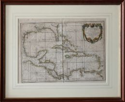

Carte Geo-Hydrographique du Golfe du Mexique et de ses Isles Par M. Rizzi Zannoni a Paris number 34, framed, 13½ x 18¾ (34.3 x 47.6cm.). *Good, ce...
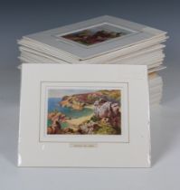
Views of Jersey - A collection of fifty four (54) colour plates comprising 48 by Henry B. Wimbush and six by T. Nelson & Son. (54)
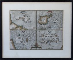
John Speed, 'Holy Island, Garnsey, Farne, Jarsey' engraved hand coloured map, 1610, framed, 15 x 20in. (38 x 50.8cm.). *Acidic mount, time stained...
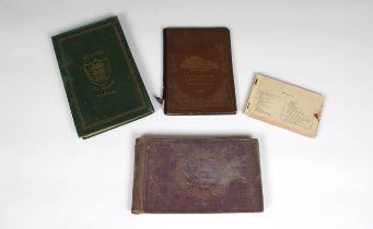
Channel Islands books - Views of Jersey with map & plan; Views of the Channel Islands, by Slater, Rock & Co London; Jersey Illustrated by P. J. Ou...
THE KINGS SURVEY OF THE CHANNEL ISLANDS 1680 - Report on the state of Guernsey & Jersey by Col. G. L
THE KINGS SURVEY OF THE CHANNEL ISLANDS 1680 - Report on the state of Guernsey & Jersey by Col. G. Legge - GUERNSEY EDITION limited edition 27/75,...
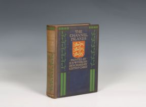
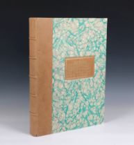
Wimbush, H. B. & Edith F. Carey
Wimbush, H. B. & Edith F. Carey The Channel Islands, 1st edition, folding map, pub. Adam and Charles Black, London, 1904, gilt decorated cloth. * ...
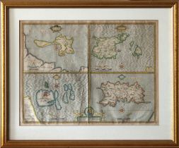
John Speed (1552-1629)
John Speed (1552-1629) Maps of four Islands - "Holy Iland", "Garnsey" (Guernsey), "Farne" and "Jarsey" (Jersey)", dated 1610, 15¾ x 20¾in. *Crease...
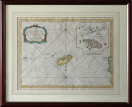
Jacques Nicholas Bellin Carte Reduite de L'Isle D'Aurigni et des Isles et Roches Voisines, coloured, engraved chart showing Alderney, The Casquets...