


Title: Bacons Vintage London Metropolitan Police Courts Coloured Map. Description: Bacons Vintage London Metropolitan Police Courts Co...
Collectables Auctions
Explore an enormous array of collectables auctions on the UK's leading online auction marketplace. Browse models, toys, dolls, games, arms, armour, militaria, books & periodicals, sporting equipment & memorabilia, musical instruments, stamps, coins, classic cars & motorcycles, camera & camera equipment, wines & spirits, maps, religious items & folk art, banknotes, entertainment memorabilia, and more. With so many reputable auction houses selling on the saleroom, you can find the collectables auctions you're looking for and more. Use tools like watch lists, auction alerts, filters, and more to speed up your search and compete in live and timed auctions. Place winning bids on the items that match your criteria and get your next collectable on the saleroom.
Popular categories
Musical Instruments & Memorabilia
Bank Notes
Cameras & Photography Equipment
Entertainment Memorabilia
Kitchenalia
Toys & Games
Railwayana
Religious Items & Folk Art
Scientific Instruments
Writing Instruments
Sports Memorabilia & Equipment Auctions
Collectable Stamps
Tools
Taxidermy
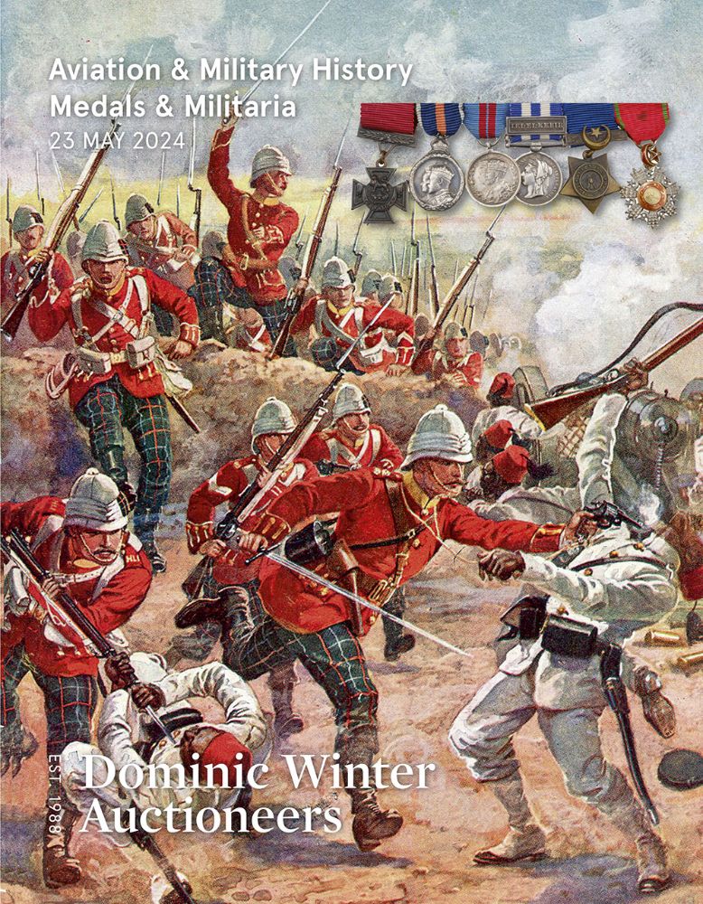
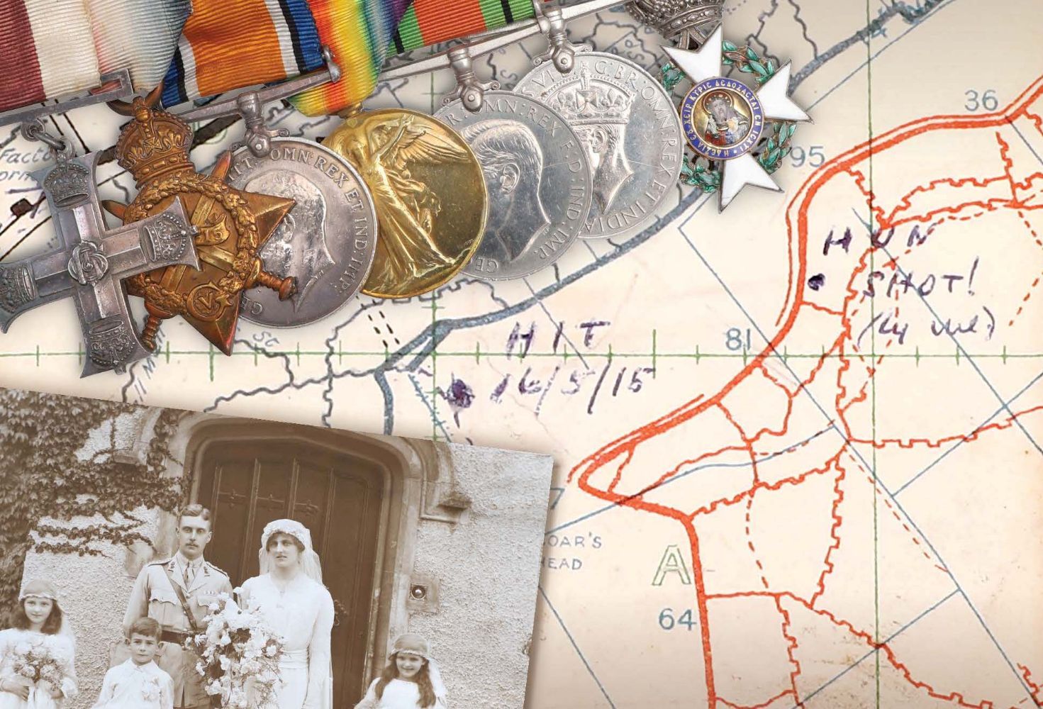
Arms, Armour & Militaria
Vintage Wine & Spirits
Featured auctions
Upcoming auctions
486 item(s)
Filtered by:
- Category
- List
- Grid
-
486 item(s)/page

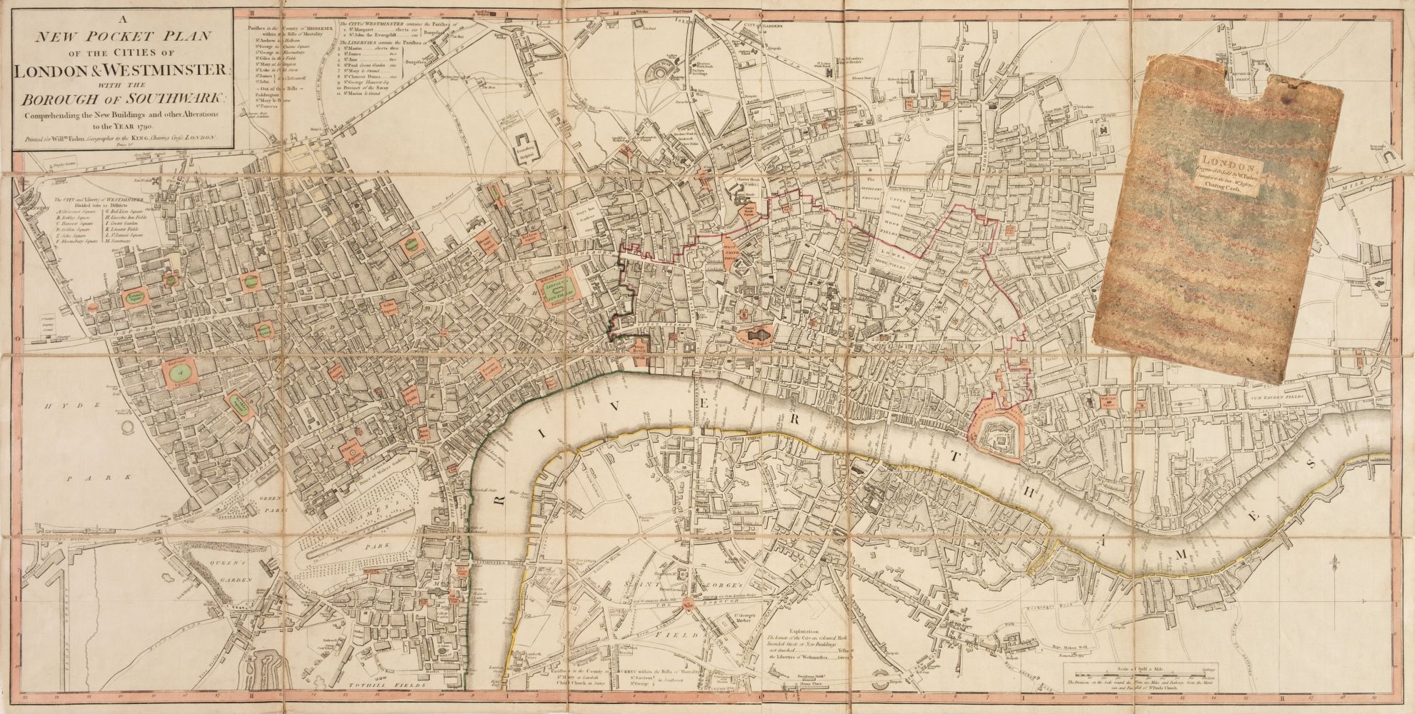
Title: Collection 9 Rare Vintage George Bacon London & Suburbs Large Scale Maps Description: Collection 9 Rare Vintage George Bacon Lo...

David Michael Jones (1895-1974) Map of the Third Voyage wood engraving 19 x 16cm.

An 18th century cloth map of London, Westminster and Southwark. Dated 1781. Printed for Rob Sayer & J Bennett. 42cm x 53cm.

A LARGE COLOURED MAP OF FRANCE DIVIDED IN TO PROVINCES, 61 x 52cm.

A Robert Morden Map of Gloucestershire framed and mounted, map size 17" x 14".

Lot 850
Three Esso framed map prints.
Three Esso framed map prints.

A quantity of Nautical maps for Plymouth approach, Falmouth to Plymouth, Channel Islands to Straits of Gibraltar, North Atlantic, British Cannel, ...

A 19th century New General Atlas, Constructed from the Latest Authorities, by Arrowsmith, Hydrograher to the Prince Regent, Comprehended in Fifty ...

Lot 158
An assorted collection of vintage paper plans and maps of the local area, Kendal, the Howgill Fells,
An assorted collection of vintage paper plans and maps of the local area, Kendal, the Howgill Fells, areas around Windermere, and two volumes of L...

FRAMED MAP OF SCOTLAND & ARTS & CRAFTS FRAME WITH FLOWER & LEAF DECORATION Condition Report: Map: some water staining, brown marks, etc. frame ...

An Islamic Painting of the Map of Hajj. Approximately 55.5x40.7cm

A Good Philips 4in Terrestrial Globe, English, c.1870 (as the globe shows the Sandwich islands and 'the dominion of Canada' indicating an age of c...

'A Historical Tour of Monmouthshire Illustrated with Views by Sir R.C Hoare, Bart, 'A New Map of The County' and other engravings by William Cox, ...


Lot 1843
SEVEN VARIOUS MAPS; ITALY, AFRICA, BRITAIN, CORINTH, NAVARINO AND CORFU, LATER REPRODUCTIONS, AND
SEVEN VARIOUS MAPS; ITALY, AFRICA, BRITAIN, CORINTH, NAVARINO AND CORFU, LATER REPRODUCTIONS, AND A HAND COLOURED MAP OF RUTLANDSHIRE. (7)

Lot 200
A collection of maps, including map of the Western Railway, road map of India and other Indian
A collection of maps, including map of the Western Railway, road map of India and other Indian interest ephemera.

Map of Sea Monsters and Fantastical Beasts [Sea Monsters] : " Meerwunder und Seltzame Their ", (often referred to as "Munsters Monsters") by Sebas...

Lot 28
'UNIVERSAL GEOGRAPHY' COMPRISING APPROX FIFTEEN MAPS, LEATHER BOND, AND VARIOUS ILLUSTRATIONS
'UNIVERSAL GEOGRAPHY' COMPRISING APPROX FIFTEEN MAPS, LEATHER BOND, AND VARIOUS ILLUSTRATIONS


Two WW2 double sided silk escape and evade maps of Europe, comprising: Germany, Belgium, France, Holland, Spain etc, in canvas envelope stamped M...

Lot 1288
PHILIPS CHALLENGE GLOBE 45CM TALL
PHILIPS CHALLENGE GLOBE 45CM TALL

FRAMED MAP OF SCOTLAND PUBLISHED BY THE SCARBOROUGH COMPANY, 104CM X 89 CM TOGETHER WITH A GILT FRAMED PINT OF A CHURCH ARCH

Lot 413
GUILLAUME DELISLE (1675-1726): A MAP OF NORMANDY AFTER A MAP OF HOMANN HERITIERS, 60cm x 38cm
GUILLAUME DELISLE (1675-1726): A MAP OF NORMANDY AFTER A MAP OF HOMANN HERITIERS, 60cm x 38cm Mounted in a frame and glazed. 74cm x 54cm

Lot 18
Maps of the Canary Islands
Maps of the Canary Islands comprising : "The Canarie Islands" by Robert Morden, "Les Isles Canaries" by Robert de Vangondy, "Isle Canaries" by Pie...

Lot 247
Large framed map of The Bermuda Islands, designed by Elizabeth Shurtleff. Approx. 62 x 91cms
Large framed map of The Bermuda Islands, designed by Elizabeth Shurtleff. Approx. 62 x 91cms reasonable used condition with minor scuffs and scra...


Lot 1114
Lee (Kerry), Cambridge. "This immense & glorious work of fine intelligence...", Pictorial Maps
Lee (Kerry), Cambridge. "This immense & glorious work of fine intelligence...", Pictorial Maps Ltd, for the Travel Association of Great Britain, ...

Lot 3085
WWII German navigation map
WWII German navigation map, Luft-Navigationskarte in Merkatorprojektion, of England, France, Netherlands, Denmark, H110cm, W74cm

Lot 236
A framed Survey Map of The Town of Peebles by J.Wood Edin 1823, published by the proprietor Canaan
A framed Survey Map of The Town of Peebles by J.Wood Edin 1823, published by the proprietor Canaan and sold by W.Swinton, 60 Princes Street Edin, ...

A quantity of Ordnance Survey Landranger Maps across Britain (approx. 30).

Lot 521
Maps. Atlas. The M.P. Atlas. A Collection of Maps Showing the Commercial and Political Interests
Maps. Atlas. The M.P. Atlas. A Collection of Maps Showing the Commercial and Political Interests of the British Isles and Empire Throughout the Wo...


Vintage Breweriana interest Whitbread & Co Ltd metal pub map of Kent, 83cm x 57cm

Quantity of Roleplaying maps & figures. Consisiting of paper & card maps to include Dungeons & Dragons, metal & plastic figures. Unchecked for com...

Lot 414
JOHN OGILBY: THE ROAD FROM LONDON TO ARUNDEL CIRCA 1675-1698, 44cm x 33cm Mounted in a frame and
JOHN OGILBY: THE ROAD FROM LONDON TO ARUNDEL CIRCA 1675-1698, 44cm x 33cm Mounted in a frame and glazed. 64cm x 54cm

Lot 1018
An early 20th century survey map of Calcutta - dated 1925, together with further similar maps of
1018An early 20th century survey map of Calcutta - dated 1925, together with further similar maps of
An early 20th century survey map of Calcutta - dated 1925, together with further similar maps of Bombay, (4)

Box with 1871 maps of the world, 3 large maps of River Thames, framed prints

Lot 399
Map of 'Merionethshire' by John Speed, circa 1610, 43cm x 52cm, unframed and a map of 'The Fennes'
Map of 'Merionethshire' by John Speed , circa 1610, 43cm x 52cm, unframed and a map of 'The Fennes' by Ioannis Ianbonii, circa 1650, 44cm x 56cm...

Lot 80
Cary, John "Cary's Traveller's Companion or a Delineation of the Turnpike Roads of England and
Cary, John "Cary's Traveller's Companion or a Delineation of the Turnpike Roads of England and Wales....." London Printed for John Cary Map and P...

Early Motoring Interest - Stawell, Mrs Rodolph "Motor Tours in the West Country " Hodder and Stoughton 1910, " Motor Tours in Wales and the Borde...

A folding map of Yorkshire, by Henry Teesdale and C. Stocking , 1828, hand-coloured and linen-backed in solander box-case; together with a foldin...

Lot 2
Two maps of Europe
Two maps of Europe comprising : "Orbis Romani", hand coloured, in frame; and "Tabula Italiae Antiquae Geographica", by D'Anville, hand tinted, in ...

A quantity of Nautical maps for approaches to:- New York, Gibraltar Straits, Buzzards Bay, Nautucket, Finistaire, Ilha de s' Migael, etc.

Two Maps of Kidderminster and Droitwich, after Lieutenant Robert Dawson.

A Print of a map of Herefordshire circa 1830, limited edition, 13" x 15".

A framed and mounted Alex Williams print titled "Winter Jacobs" signed, 19 1/2" x 16 1/2".

An unusual map of Paris on a mirrored ground in an ebonised frame.

Early Ordnance Survey map of The Straits of Dover and Kent and other maps.

Lot 2049
A framed and limited edition Print, no. 145/850 titled "Ludlow Castle and Town" signed Glyn Martin.
A framed and limited edition Print, no. 145/850 titled "Ludlow Castle and Town" signed Glyn Martin.

A large framed Autosport print depicting Ayrton Senna, World Champion, 1988, 1990, 1991.

Lot 537
Maps/Atlases. Joan Blaeu - Atlas Major selection. Taschen editions circa 2006-2010. Five volumes
Maps/Atlases. Joan Blaeu - Atlas Major selection. Taschen editions circa 2006-2010. Five volumes from the series. (5)

Lot 188
Two Victorian leather bound photograph albums, a framed early 20th Century school photograph, an
Two Victorian leather bound photograph albums, a framed early 20th Century school photograph, an Ordnance Survey reprint edition illustrating Kend...

Lot 541
THREE BOXES OF BOOKS AND A SELECTION OF VINTAGE ORDNANCE SURVEY MAPS to include a selection of early
THREE BOXES OF BOOKS AND A SELECTION OF VINTAGE ORDNANCE SURVEY MAPS to include a selection of early 20th century/mid-century engineering books, l...

Lot 669
A large original Pub Advertisement, "Stout and Porter of All Brands, drawn from the wood bottled
A large original Pub Advertisement, "Stout and Porter of All Brands, drawn from the wood bottled Ales and Stouts 2'6 per doz.," approx. 76cms x 10...

Lot 699
An important and large Advertisement or Branded Mirror, for "Paddy - Pure Pot Still Ten Years
An important and large Advertisement or Branded Mirror, for "Paddy - Pure Pot Still Ten Years Old - The Cork Distiller Co. Ltd.," with central des...

A large vintage 1950s (1959) sales promotion wall hanging map of the British Isles. Scale 1:633,600 or 10 miles per inch. Measures approx 150x170c...

Lot 415
JOHN OGILBY: THE ROAD FROM LONDON TO NEWHAVEN CIRCA 1675-1698, 44cm x 33cm Mounted in a frame and
415JOHN OGILBY: THE ROAD FROM LONDON TO NEWHAVEN CIRCA 1675-1698, 44cm x 33cm Mounted in a frame and
JOHN OGILBY: THE ROAD FROM LONDON TO NEWHAVEN CIRCA 1675-1698, 44cm x 33cm Mounted in a frame and glazed. 64cm x 54cm

Saxton, Christopher (c.1540-c.1610) & William Hole (d. 1624) - A 17th century etched & hand coloured map of Oxfordshire. The map reading: Oxoniens...

Interesting plan map of the Louth Flood of 1920