A Good Philips 4in Terrestrial Globe, English, c.1870 (as the globe shows the Sandwich islands and 'the dominion of Canada' indicating an age of c...
Collectables Auctions
Explore an enormous array of collectables auctions on the UK's leading online auction marketplace. Browse models, toys, dolls, games, arms, armour, militaria, books & periodicals, sporting equipment & memorabilia, musical instruments, stamps, coins, classic cars & motorcycles, camera & camera equipment, wines & spirits, maps, religious items & folk art, banknotes, entertainment memorabilia, and more. With so many reputable auction houses selling on the saleroom, you can find the collectables auctions you're looking for and more. Use tools like watch lists, auction alerts, filters, and more to speed up your search and compete in live and timed auctions. Place winning bids on the items that match your criteria and get your next collectable on the saleroom.
Popular categories
Musical Instruments & Memorabilia
Bank Notes
Cameras & Photography Equipment
Entertainment Memorabilia
Kitchenalia
Toys & Games
Railwayana
Religious Items & Folk Art
Scientific Instruments
Writing Instruments
Sports Memorabilia & Equipment Auctions
Collectable Stamps
Tools
Taxidermy
Arms, Armour & Militaria
Vintage Wine & Spirits
Featured auctions
Upcoming auctions
Filtered by:
- Category
- List
- Grid
-
682 item(s)/page
Ray-Ban Unisex Sunglasses Black Round Double Bridge Black Frame- appear unworn examples with as pictured all relevant original paperwork and packa...
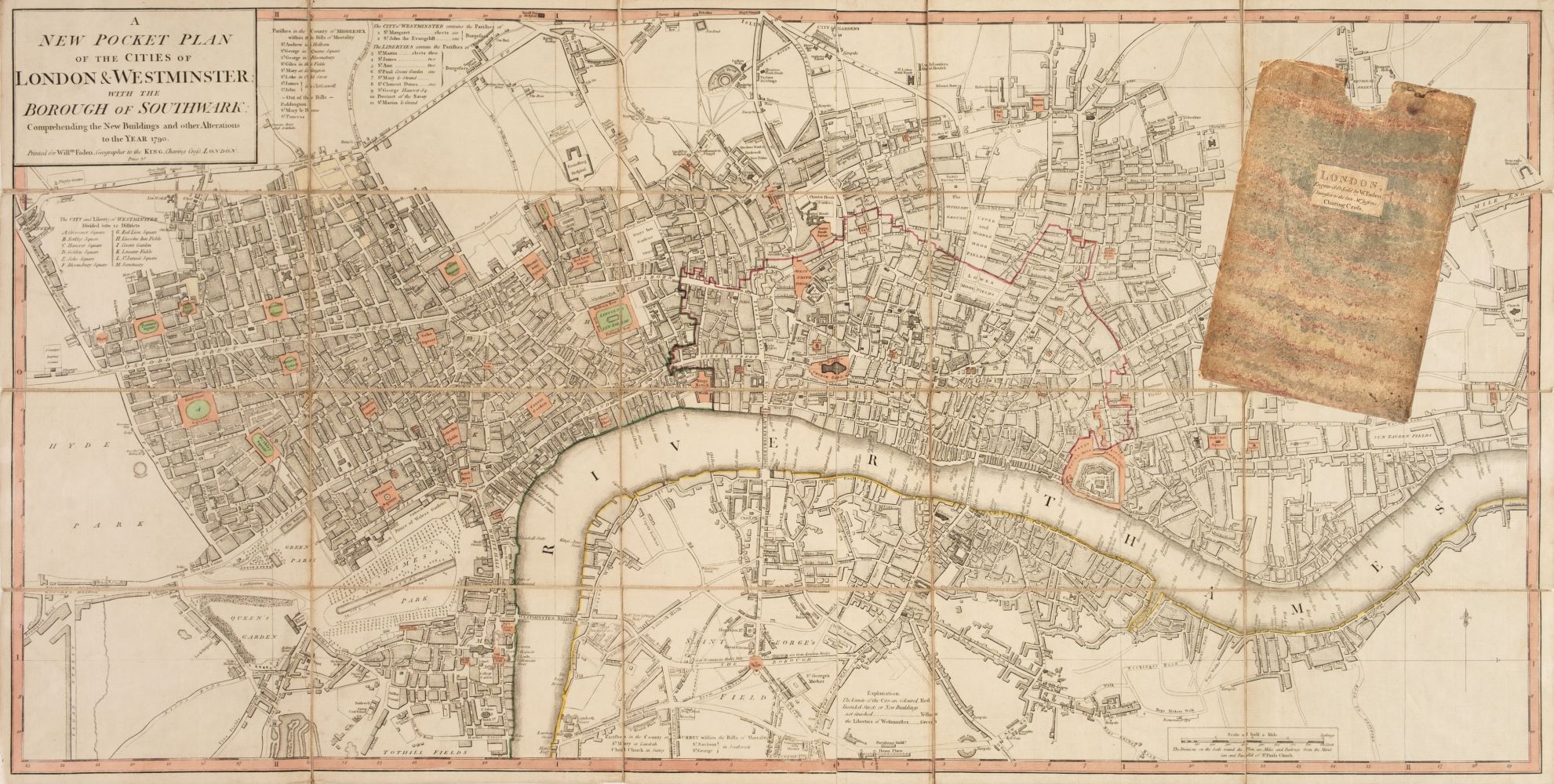
Title: Bacons Vintage London Metropolitan Police Courts Coloured Map. Description: Bacons Vintage London Metropolitan Police Courts Co...
Title: Collection 9 Rare Vintage George Bacon London & Suburbs Large Scale Maps Description: Collection 9 Rare Vintage George Bacon Lo...
Handcol. engr., 47 x 57 cm, depicting an armillary sphere, a celestial globe and a terrestrial globe, Nuremburg, J.B. Homann, ca. 1720, framed und...
Du déjeuner Pullman au diner. Paris-Bruxelles-Amsterdam. Paris, Hachard & Cie, 1927. 106 x 75 cm. Corners and minor dam. to folds, professionally ...
David Michael Jones (1895-1974) Map of the Third Voyage wood engraving 19 x 16cm.
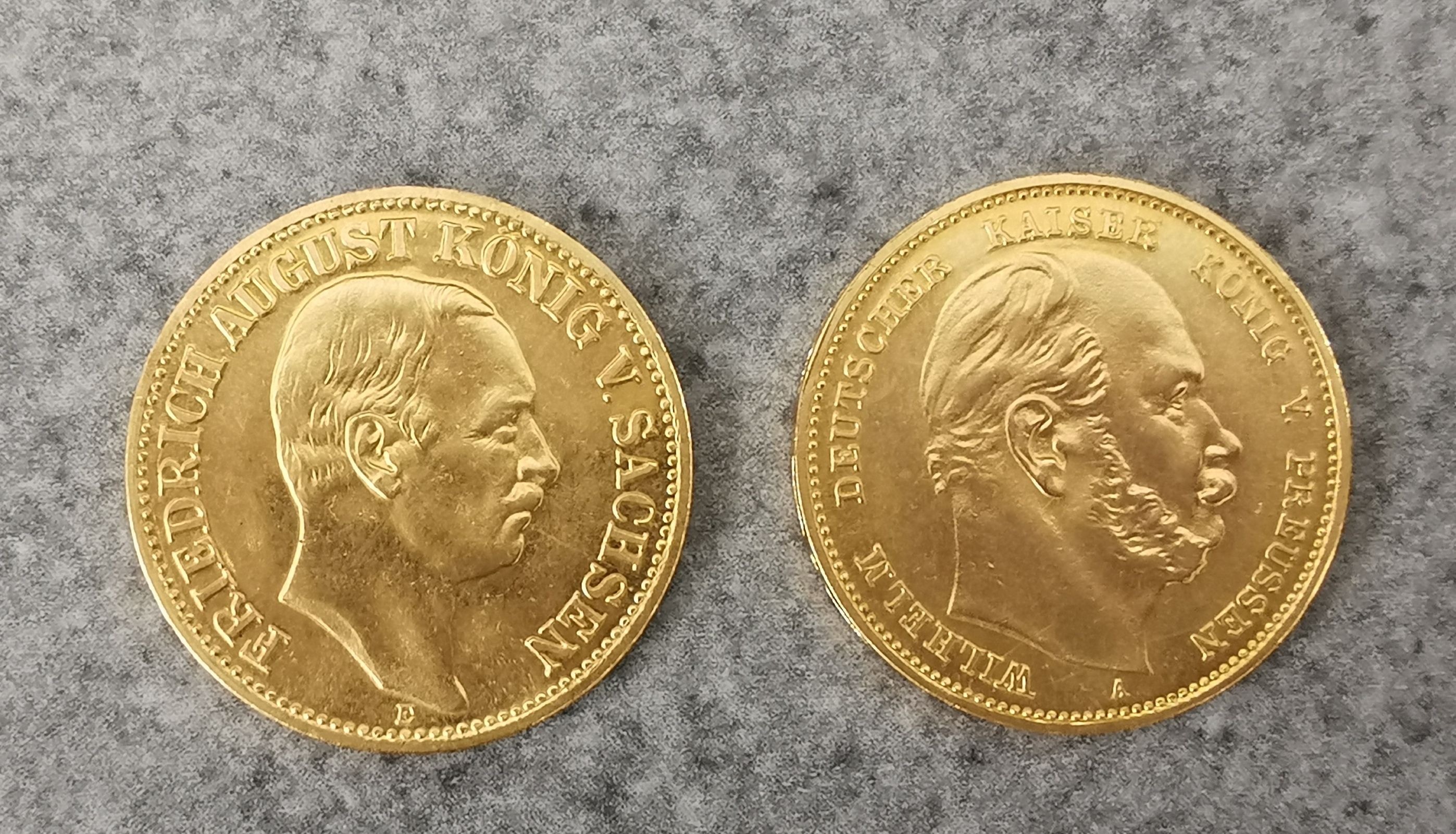
Spanish 'piece of eight' 8 reale coin, recovered from the site of the wreck of HMS Association on
Spanish 'piece of eight' 8 reale coin, recovered from the site of the wreck of HMS Association on Gilstone Ledges, Isles of Scilly
17th Century coloured map "Norfolk a Countie Florishing and Populous described and devided with
17th Century coloured map "Norfolk a Countie Florishing and Populous described and devided with the Armes of Such Nobele families as have borne th...
Eight mid century canvas backed wall maps, Europe; the World; England & Wales; N. America; S. America; Asia; Africa; Palestine. Estimate: £20-40. ...
Map of Sea Monsters and Fantastical Beasts [Sea Monsters] : " Meerwunder und Seltzame Their ", (often referred to as "Munsters Monsters") by Sebas...
SPEED (JOHN) The Kingdome of China Newly Augmented by I.S. 1626, Thomas Bassett and Richard Chis...
SPEED (JOHN) The Kingdome of China Newly Augmented by I.S. 1626, hand-coloured engraved map, decorated borders with eight costumed figures in ve...
Over 20 old OS (Ordnance Survey) maps
An Islamic Painting of the Map of Hajj. Approximately 55.5x40.7cm
TWO ANTIQUE HANGING MAPS "BACON'S EXCELSIOR MAP OF NORFOLK & SUFFOLK" AND SCARBOROUGH'S DOUBLE
TWO ANTIQUE HANGING MAPS "BACON'S EXCELSIOR MAP OF NORFOLK & SUFFOLK" AND SCARBOROUGH'S DOUBLE SIDED MAP "EUROPE & ASIA" & "NORTH & SOUTH AMERICA".
A Sifton Praed & Co. Ltd. leather cased set of Bartholomew's Road Maps for England and Wales, sheets
A Sifton Praed & Co. Ltd. leather cased set of Bartholomew's Road Maps for England and Wales, sheets 1-8 and 10-12.
Map of 'Merionethshire' by John Speed, circa 1610, 43cm x 52cm, unframed and a map of 'The Fennes'
Map of 'Merionethshire' by John Speed , circa 1610, 43cm x 52cm, unframed and a map of 'The Fennes' by Ioannis Ianbonii, circa 1650, 44cm x 56cm...
Cary, John "Cary's Traveller's Companion or a Delineation of the Turnpike Roads of England and
Cary, John "Cary's Traveller's Companion or a Delineation of the Turnpike Roads of England and Wales....." London Printed for John Cary Map and P...
A map of Holy Island
A map of Holy Island : "Insvla Sacra Vulgo Holy Island et Farne", by Blaeu, hand-tinted, in frame.
TWO ANTIQUE MAPS comprising A General Map of South Wales by Richard Blome, and a map of Cambridgeshire with text verso (2) Provenance: private ...
A GEORGE III MAP SAMPLER, 1786, worked in coloured silks on a loosely woven ground with a map of
A GEORGE III MAP SAMPLER, 1786, worked in coloured silks on a loosely woven ground with a map of England and Wales by Sarah Rushton of Macc(lesfie...
AFRICA MUNSTER (SEBASTIAN) Africa Lybia Morenlandt mit allen königreichen so zu unsern zeit...
AFRICA MUNSTER (SEBASTIAN) Africa Lybia Morenlandt mit allen königreichen so zu unsern zeiten darin gefunden werden, hand-coloured woodcut map, ...
AFRICA BLAEU (WILLEM) Africae nova descriptio, hand-coloured engraved double-page map, 10 costumed figures on the vertical margins and 9 oval vi...
EAST AFRICA DE WIT (FREDERICK) Occidentalior Tractus Indiarum Orientalium a Promontorio Bonae Sp...
EAST AFRICA DE WIT (FREDERICK) Occidentalior Tractus Indiarum Orientalium a Promontorio Bonae Spei ad C. Comorin, hand-coloured engraved double-...
SOCIETY FOR THE DIFFUSION OF USEFUL KNOWLEDGE The Complete Atlas of Modern, Classical and Celest...
SOCIETY FOR THE DIFFUSION OF USEFUL KNOWLEDGE The Complete Atlas of Modern, Classical and Celestial Maps, together with Plans of the Principal Cit...
Saxton, Christopher (c.1540-c.1610) & William Hole (d. 1624) - A 17th century etched & hand coloured map of Oxfordshire. The map reading: Oxoniens...
Book: Cornwall A Survey of its Coasts, Moors & Valleys, 1930, twinned with three west country maps & a Western National route map
Three Georgian newspapers - The Bury & Norwich Post, 1794; The Iris or Norwich & Norfolk Weekly
Three Georgian newspapers - The Bury & Norwich Post, 1794; The Iris or Norwich & Norfolk Weekly Advertiser, 1803 - 12.25in x 18.75in; and the Ipsw...
A C18th handcoloured engraved map of Ireland with rococo title vignette, mounted & framed. (7.5in
A C18th handcoloured engraved map of Ireland with rococo title vignette, mounted & framed. (7.5in x 7.25in)
Maps of the Canary Islands
Maps of the Canary Islands comprising : "The Canarie Islands" by Robert Morden, "Les Isles Canaries" by Robert de Vangondy, "Isle Canaries" by Pie...
A folding map of Yorkshire, by Henry Teesdale and C. Stocking , 1828, hand-coloured and linen-backed in solander box-case; together with a foldin...
Maps of Yorkshire
Maps of Yorkshire , by John Speede, comprising: "The West Ridinge of Yorkeshyre", and "The North and East Ridins of Yorkshire", hand-tinted, in fr...
A map of "Holy Island Staples and Barwick", dedicated and presented to Capt. Will Davies by Capt. Greenvil Collins, to the King, hand tinted, in ...
A folding map of the County of Edinburgh, by Thomas Sharp, C. Greenwood and William Fowler , 1828 with hand colouring and linen-backed in gilt, em...
JOHN SPEED, AN 18TH CENTURY HAND COLOURED MAP OF NORTHAMPTONSHIRE With text to reverse chapter 28
JOHN SPEED, AN 18TH CENTURY HAND COLOURED MAP OF NORTHAMPTONSHIRE With text to reverse chapter 28 book 1, together with a receipt from Boydell Gal...
AFRICA DE WIT (FREDERICK) Totius Africae Accuratissima Tabula,Amsterdam, Frederick de Wit, [c.16...
AFRICA DE WIT (FREDERICK) Totius Africae Accuratissima Tabula, hand-coloured double-page engraved map, decorative title cartouche, animal vignet...
Edinburgh panorama
Edinburgh panorama Illustrated London News Hand-coloured panorama by E.K. Johnson [Supplement to the Illustrated London News, July 8, 1848], 44 ...
BLAEU (WILLEM AND JAN) Toonneel des Aerdrycz, oft Nieuwe Atlas... Tweede Deels, 2 parts in 1 vol...
BLAEU (WILLEM AND JAN) Toonneel des Aerdrycz, oft Nieuwe Atlas... Tweede Deels, 2 parts in 1 vol., engraved architectural and allegorical titles...
SPEED (JOHN) Yorkshire; The North and East Ridins of Yorkshire; West Ridinges, [c.1730], hand-co...
SPEED (JOHN) Yorkshire; The North and East Ridings of Yorkshire, inset plans of Hull and Richmond ; The West Ridinge of Yorkeshyre with Most Fam...
GEOLOGICAL MAP OF GREAT BRITAIN,
GEOLOGICAL MAP OF GREAT BRITAIN, split over two sections, one depicting Scotland and North England, the second showing England and Wales each ...
Interesting plan map of the Louth Flood of 1920
An early 20th century survey map of Calcutta - dated 1925, together with further similar maps of
An early 20th century survey map of Calcutta - dated 1925, together with further similar maps of Bombay, (4)
Signed limited edition map of the West Riding of Yorkshire from the Domesday book by John Garnons
Signed limited edition map of the West Riding of Yorkshire from the Domesday book by John Garnons Williams, 1986, 229/950, 41 x 52cm; and a 1992 c...
C17th map of Saxton-Monmouth Monumethenis by Kip & Hole circa 1637, uncoloured and unframed, 39cm
C17th map of Saxton-Monmouth Monumethenis by Kip & Hole circa 1637, uncoloured and unframed, 39cm x 32.5cm
An eighteenth century handcoloured plan dated 1772 of the proposed Stockton to Durham canal, after a
An eighteenth century handcoloured plan dated 1772 of the proposed Stockton to Durham canal, after a survey by Robert Whitworth, the plate showing...
An eighteenth century handcoloured map of The Bishoprick of Durham, the plate after Blome showing
An eighteenth century handcoloured map of The Bishoprick of Durham, the plate after Blome showing fold mark, mounted & gilt framed. (12.75in x 10....
Box with 1871 maps of the world, 3 large maps of River Thames, framed prints
An East London Bus map on board, dated April 1984, 25 1/4 x 40 1/2".
An antique South America school map no568 by Georg Westermanns [119x90.5cm]
An 1818 Langley's new map of Norfolk, framed and glazed. 27.5 cm x 20.5 cm.
DURHAM, The Bishoprieke and Citie of Durham. Hand coloured map, by John Speed, attractively f&g, circa 1610, with English text in the verso, 37.5c...
FIVE BOXES OF MIXED SUNDRIES to include an extensive array of 1930s Ordnance Survey Road Maps of the
FIVE BOXES OF MIXED SUNDRIES to include an extensive array of 1930s Ordnance Survey Road Maps of the Midlands, South of England, and Wales, a smal...
John Speede, a double sided hand coloured engraved map of Wales, twelve oval vignettes of principal cities to the margins and inset views of Bang...
A collection of World War II Ordnance Survey maps, maps of parts of Malaya, Singapore and Jahore,
A collection of World War II Ordnance Survey maps, maps of parts of Malaya, Singapore and Jahore, together with some 1946 newspapers.
A collection of seven 20th century Conic Projection maps together with another. The lot to include: the map of Iran (Persia) scale 1:4,000,000 pla...
Early Motoring Interest - Stawell, Mrs Rodolph "Motor Tours in the West Country " Hodder and Stoughton 1910, " Motor Tours in Wales and the Borde...
Maps of the West Indies
Maps of the West Indies comprising : "A New and Accurate Map of the Isles of Guadaloupe, Marie-Galante & etc" by J. Gibson, "A Map of the Island o...
Six maps of Yorkshire
Maps of Yorkshire including: "Lincolnshire", by T. Kitchin, hand tinted, in frame; "A New Map of Yorkshire", by T, Kitchin, hand tinted, in frame...
Eleven antique, unframed ordnance maps of East and West Matfen, Houghton, Wallhouses, Aydon Castle, Haydon and Chesterwood, Corbridge and Aydon, a...
Two maps of Northumberland
Maps of Northumberland comprising : "Newcastle uppon Tyne" by Capt. G. Collins, hand-tinted, in frame; and "A New and Improved Map of Northumberla...





![AFRICA BLAEU (WILLEM) Africae nova descriptio, [c. 1630 or later]](https://portal-images.azureedge.net/auctions-2024/bonham10791/images/d70693cb-2c26-42a3-9d72-b17a010d6222.jpg?w=155&h=155)


![SPEED (JOHN) Yorkshire; The North and East Ridins of Yorkshire; West Ridinges, [c.1730], hand-co...](https://portal-images.azureedge.net/auctions-2024/bonham10855/images/38d5b31b-fc81-4c30-82bb-b179011a54ac.jpg?w=155&h=155)


![An antique South America school map no568 by Georg Westermanns [119x90.5cm]](https://portal-images.azureedge.net/auctions-2024/three-10000/images/316d98a7-1a54-4600-86a1-b17e00f85a20.jpg?w=155&h=155)


