Filtered by:
- Category
- List
- Grid
A subscription to the Price Guide is required to view results for auctions ten days or older. Click here for more information
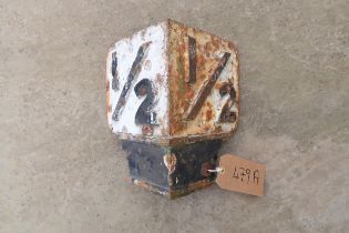

Great Northern Railway '1/2' mile cast iron railway marker, in original removed condition
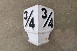
Great Northern Railway '3/4' mile cast iron railway marker, in original removed condition
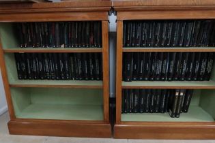
87 Editions of the Buildings of England, Towns and Cathedrals, By Pevsner.
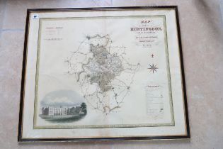
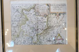
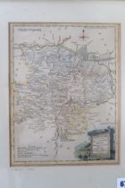
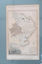
A map of Huntingdonshire by Cary circa 1809 - 56cm x 45cm
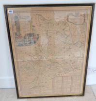
A framed map of Huntingdon Castle by Greenwood circa 1829 - 77cm x 65cm
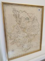
A framed map of Huntingdon circa 1767 - 70cm x 52cm
A coloured map of Huntingdon by Speed/Overton circa 1701 - 54cm x 40cm
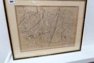
A map of Great Level of Fens by Harris after Jones Moor circa 1701 - 41cm x 30cm
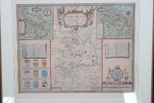
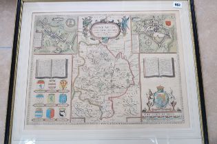
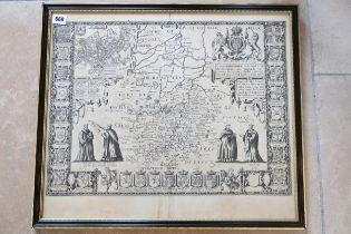
A Speed Bassett map of Huntingdon circa 1656 - 51cm x 40cm
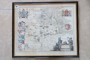
A framed map Ioannis Lansonil of Fens circa 1650 - Cambridge to the North Sea
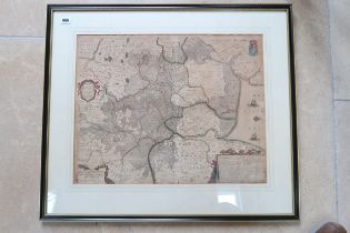
A framed map of Huntingdonshire by Blaeu - double sided - 53cm x 44cm - 1647
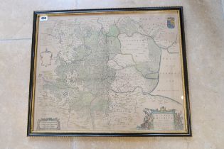
A map of Regiones Invndate by Blaeu - double sided circa 1645 - 56cm x 45cm
A John Speed double sided map of Cambs & Suffolk circa 1610 - 53cm x 45cm
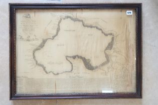
A silk map of Whittlesey Mere - silk in poor condition - 66cm x 46cm
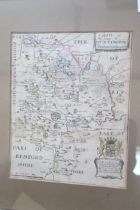
A coloured framed map of Huntingdon circa 1610 by Saxton Kip - 33cm x 25cm
A framed map of Huntingdon and Beds by Blome 1673 - 24cm x 20cm
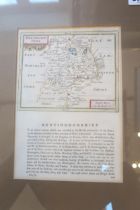
A framed map of Huntingdon circa 1766 - double sided - 22cm x 15cm
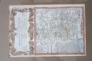
A framed map of Huntingdon Ipswich Road, double sided by Owen & Bowen circa 1740 - 18cm x 12cm
A framed map of Huntingdon Ipswich Road, double sided by Owen & Bowen circa 1740 - 18cm x 12cm
A framed map of Huntingdonshire by Ellis - 25cm x 19cm - circa 1766
A framed map of Huntingdonshire by Hogg circa 1784 - 15cm x 10cm
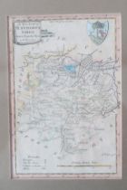
A framed map of Huntingdonshire by Langley circa 1818 - 30cm x 19cm