
Filtered by:
- Category
- List
- Grid
This auctioneer has chosen to not publish their results. Please contact them directly for any enquiries.
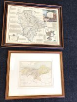

An Edwardian coloured map of Edinburgh and The Lothians after W Hughes, the folded plate mounted &
An Edwardian coloured map of Edinburgh and The Lothians after W Hughes, the folded plate mounted & framed; and a reproduction map of Devonshire af...
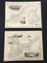
A pair of handcoloured engraved maps of West and East Canada & New Brunswick by J Rapkin for The
A pair of handcoloured engraved maps of West and East Canada & New Brunswick by J Rapkin for The Illustrated Atlas, 1851, with vignettes of local ...
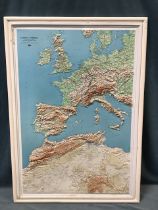
A 3D relief map of the British Isles, mainland Europe and North Africa, published 1968 by the
A 3D relief map of the British Isles, mainland Europe and North Africa, published 1968 by the Institute Géographique National of France, framed. (...
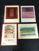
DJ White, laser print, Tectonic Shift, signed & titled on the backboard, mounted & framed - 22.5in x
DJ White, laser print, Tectonic Shift, signed & titled on the backboard, mounted & framed - 22.5in x 15.5; two Mark Rothko posters, Untitled 1959 ...
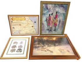
A batik painting with three standing Africa figures in ribbed bamboo style frame; a framed map of
A batik painting with three standing Africa figures in ribbed bamboo style frame; a framed map of border battlefields and reiver families; a gilt ...
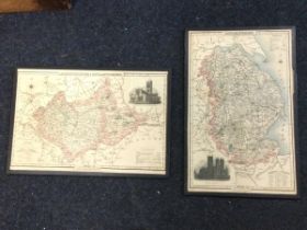
Two 1830s handcoloured maps of Leicestershire & Rutlandshire and Lincolnshire, with vignettes of the
Two 1830s handcoloured maps of Leicestershire & Rutlandshire and Lincolnshire, with vignettes of the principal churches, published by Pigot & Son,...
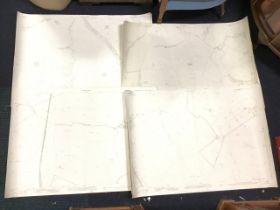
Eleven 1923 Ordanance Survey 1/2500 scale maps of Northumberland, sheets N XXI 11, 14, 15; N XXIII
Eleven 1923 Ordanance Survey 1/2500 scale maps of Northumberland, sheets N XXI 11, 14, 15; N XXIII 7, 12, 14 & 15; N LIX 12 & 16; N LXI 10; and N ...
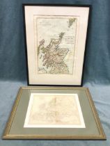
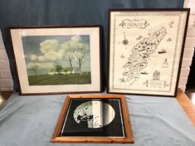
A nineteenth century handcoloured French map of Scotland after Rigobert Bonne, the verso label
A nineteenth century handcoloured French map of Scotland after Rigobert Bonne, the verso label suggesting 1788 date, the plate mounted & framed; a...
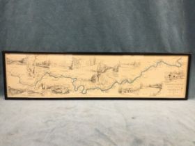
A C20th fishermans map of Salmon Pools on the River Tweed, the print after Maude Parker dated
A C20th fishermans map of Salmon Pools on the River Tweed, the print after Maude Parker dated 1933, in ebonised frame. (32in x 7.75in)
Cyril Walter Bion, colour print, Springtime in Ireland, a farmstead in Co Derry, bearing Edinburgh
Cyril Walter Bion, colour print, Springtime in Ireland, a farmstead in Co Derry, bearing Edinburgh label verso, framed - 19.5in x 15.5in; a printe...