Filtered by:
- Sale Section
- List
- Grid
A subscription to the Price Guide is required to view results for auctions ten days or older. Click here for more information
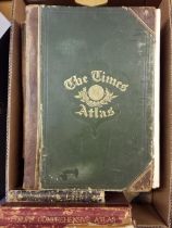

Atlases. A collection of eleven atlases, late 19th & early 20th century, British and foreign atlases, including examples by or after 'The Times', ...
Barclay (Rev. James). The Universal English Dictionary..., John Tallis and Co. 1844, additional decorative half-title, frontispiece of a view of B...
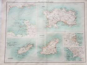
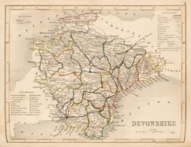
British Isles. A collection of approximately 475 regional and county maps, 18th - early 20th century, engraved and lithographic county and regiona...
England & Wales, A collection of 20 engraved maps, 18th and 19th-century, including examples by Pieter van den Keere, Samuel J. Neele, Herman Moll...
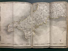
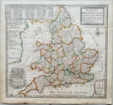
England & Wales. Cary (John), Cary's New Map of England and Wales with Part of Scotland, on which are carefully laid down all the Direct and Princ...
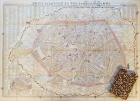
Folding Maps. A collection of 15 maps, mostly 19th-century, engraved folding maps of countries, city plans and regional maps, sectionalised and la...
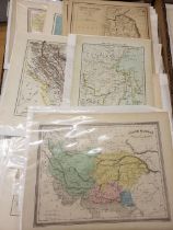
Foreign Maps. A collection of approximately 480 maps, mostly 19th & early 20th century, engraved and lithographic maps, including examples by or a...
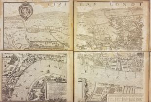
London. Vertue (George), Civitas Londinum Ano Dni circiter MDLX, 1737, eight uncoloured engraved map sheets, each sheet laid on to wooden backing,...
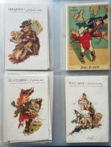
Map Postcards. A large collection of approximately 240 postcards, early to mid-20th-century, postcards, all illustrated by or with maps, including...
Maps. A collection of approximately 100 maps, mostly 19th & early 20th century, engraved and lithographic maps and charts, both British and foreig...
Maps. A collection of approximately 40 maps, 17th - 20th century, engraved and lithographic British and foreign maps, including examples by or aft...
Maps. A mixed collection of approximately 70 British and Foreign maps, 18th & 19th century, engraved and lithographic maps, including approximatel...
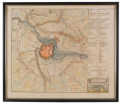
* Military Siege Maps. Harrewyn (J.). Three siege maps, Du Siege de la Ville de Menin avec ses Environs, Plan du Siege de Mons [and] Plan de la Vi...
Nordenskiold (A. E.). Facsimile-Atlas to the Early History of Cartography...., Stockholm, 1889
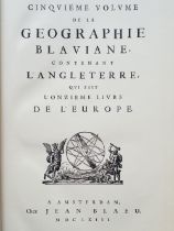
Nordenskiöld (Adolf Erik). Facsimile-Atlas to the Early History of Cartography with Reproductions of the Most Important Maps Printed in the XV and...
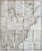
North America. Phillips (R.), United States in America, March 1st 1809, uncoloured engraved map, slight staining, old folds, 420 x 340 mm, togethe...
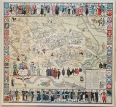
Oxford. Peele (Cecily), Map of Oxford's History: With some of her Worthies, The Alley Workshops, Oxford, circa 1934, coloured allegorical map, the...

Saxton (Christopher). An Atlas of England and Wales, The Maps of Christopher Saxton, Engraved 1574 - 1578, facsimile edition, The Collectors Libra...
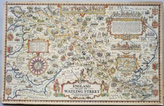
Taylor (A. E.). Four Pictorial Road Maps: England Plan of Watling Street and Principal Roads from Dover to Holyhead, England Plan of the North...,...