Filtered by:
- Category
- List
- Grid
A subscription to the Price Guide is required to view results for auctions ten days or older. Click here for more information
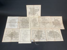

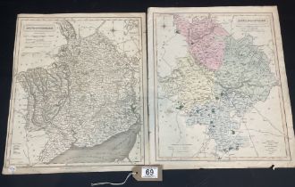
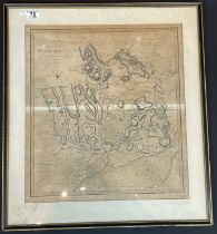
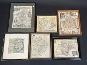
4 Country Maps Including Herefordshire And A Map Of England And Wales
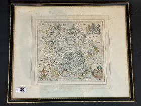
Robert Morden (1650 - 1703) Coloured Map Of Stafford Shire
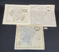
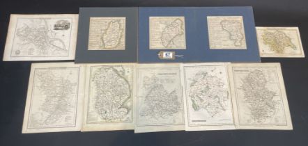
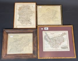
Two Huntingshire Maps And One Worcestershire
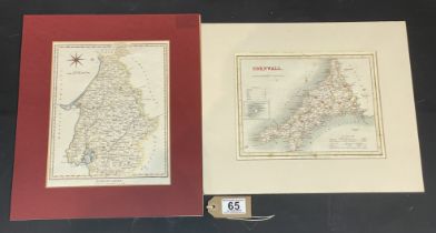
Two Coloured Engraved Maps. Dorsetshire and Cornwall
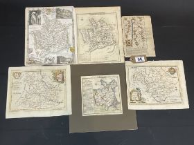
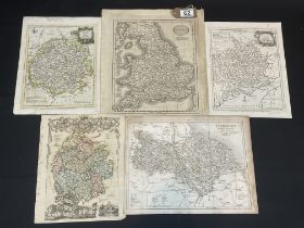
A Collection Of Six Maps Including A Cardigan Road Map
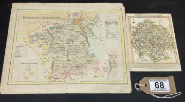
Worcestershire And Herefordshire Map
Map Of Monmouthshire And Huntingdonshire
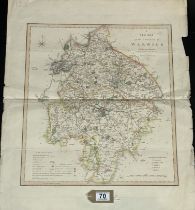
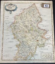
Map Of Warwickshire Dated 1834
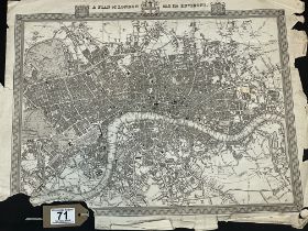
Early Map Of London And The Surrounding Area
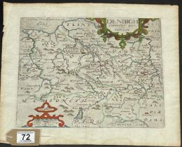
17th Century Hand Coloured Map Of Denbigh
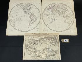
A Collection Of Three Maps Including A Western And Eastern Hemispere And Africa Septentrionalis
A Collection Of Three Maps Including A Western And Eastern Hemispere And Africa Septentrionalis
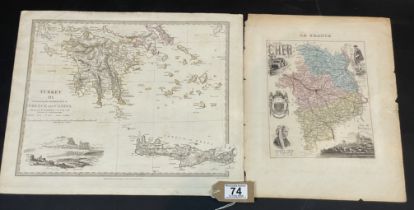
Turkey III Containing The Sothern Part Of Greece And Candia. Date 1829
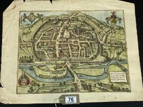
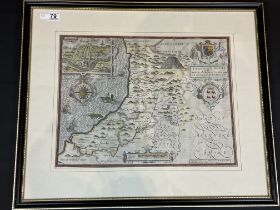
A Coloured City Map Of Exeter Circa 1597
A Framed Hand Coloured Map Of Herefordshire
Map Of Monmouthshire Divided Into Hundreds
A 17th Century Framed Double Sided Map Of Cardiganshire
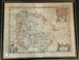
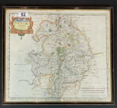
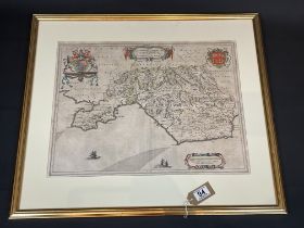
A 17th Century Map Of Herefordshire
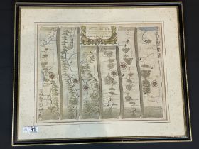
A Road Map From St Davids to Holywell
A Hand Coloured Map Of Warwickshire (1650 - 1703)
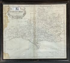
A Dorset Map By Robert Morden (1650-1703)
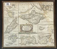
The Small Islands In The British Ocean By Rodert Morden (1650-1703)
A Hand Coloured Map Of Leicestershire By Robert Morden (1650-1703)
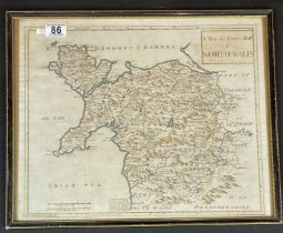
A Hand Coloured Map Of North Wales
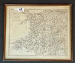
A 19th Century Map Of Wales And England
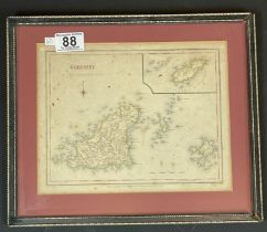
A 19th Century Hand Coloured Map Of Gurnsey
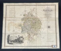
Large Fold Out Map Of Warwickshire Dated 1830 76cm x 63.5cm
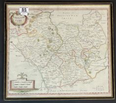
A Framed Hand Coloured Map Of Glamorganshire