Filtered by:
- Category
- List
- Grid
This auctioneer has chosen to not publish their results. Please contact them directly for any enquiries.
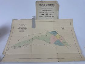

Sales Paticulars for Part Of Spring Hill Estate, Near Snowshill & Broadway, Dated 1890
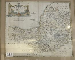
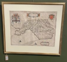
A framed 'Somersetshire' map by Robert Morden (1650 - 1703)48.4cm x 42.5cm
A 17th Century Map of The Isle Of Man inscribed with 'To the Honourable Sir John Lowther'73.5cm x 61.8cm
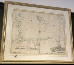
A large chart of the England and France channel by Dr E Hailey circa 1764113cm x 74.5cm
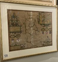
A 17th Century Map Of Glamorgan, Wales67.5cm x 58.7cm
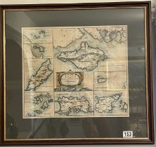
Robert Morden Map (1650 - 1703) Map Of The Smaller Islands In The Britsh Ocean 57.5 cms x 62cms
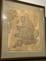
England And Wales Map. Dated 1805
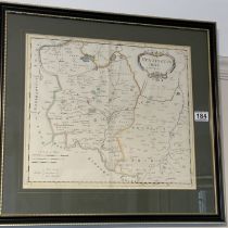
Early Hand Coloured Map Of Bedfordshire
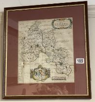
Map Of Huntingshire By Robert Mordan 1650 - 1703 57cm x 52.6cm
Early Map Of Oxfordshire By Richard Blome (1660 - 1705)

London To Aberistwith Road Map Through Broadway58cm x 46.5cm
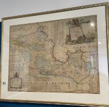
Emanuel Bowen Map (1694 - 1767) Of Berkshire 86cm x 69.5cm
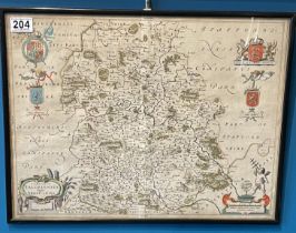
Rodger Montgomery 17th Century Map Of Shropshire51.9cm x 39.8cm