Filtered by:
- Item Type
- List
- Grid
This auctioneer has chosen to not publish their results. Please contact them directly for any enquiries.

Map: An 18thC engraved and hand coloured map of Buckinghamshire after Robert Morden. Approx. 8 1/
Map: An 18thC engraved and hand coloured map of Buckinghamshire after Robert Morden. Approx. 8 1/4" x 6 1/4"Please Note - we do not make reference...
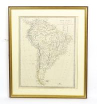
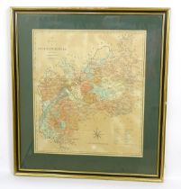
Map: A 19thC engraved and hand coloured map of South America. Published by the Society for the
Map: A 19thC engraved and hand coloured map of South America. Published by the Society for the Diffusion of Useful Knowledge. Approx. 15 3/4" x 12...
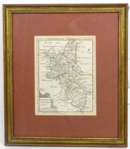
Map: An 18thC engraved and hand coloured map of Northamptonshire, with description of Northamptonshire under, mounted together. Map approx. 8 1/2"...
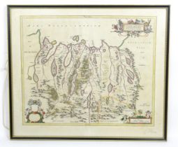
Map: A 17thC engraved and hand coloured map of Scotland titled Strath-Navernia / Strath Navern after
Map: A 17thC engraved and hand coloured map of Scotland titled Strath-Navernia / Strath Navern after Blaeu. Signed in pencil lower. Approx. 17" x ...
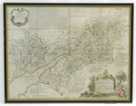
Map: A 19thC engraved map titled Gloucestershire from the Best Authorities, after John Cary. Approx.
Map: A 19thC engraved map titled Gloucestershire from the Best Authorities, after John Cary. Approx. 19" x 16 1/2"Please Note - we do not make ref...
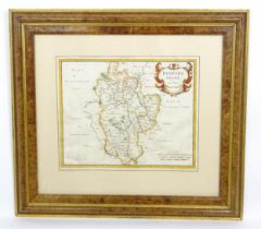
Map: A 17thC engraved and hand coloured map of Bedfordshire after Robert Morden. Approx. 12 1/2" x
Map: A 17thC engraved and hand coloured map of Bedfordshire after Robert Morden. Approx. 12 1/2" x 15 1/4"Please Note - we do not make reference t...
Map: An 18thC map of Gloucestershire with hand colouring, titled An Accurate Map of the Counties
Map: An 18thC map of Gloucestershire with hand colouring, titled An Accurate Map of the Counties of Gloucester and Monmouth Divided into their Res...
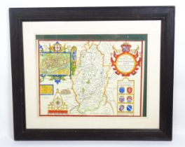
Map: An engraved and hand coloured map titled The Countie of Nottingham described The Shire Townes
Map: An engraved and hand coloured map titled The Countie of Nottingham described The Shire Townes Situation and the Earls Ther Of observed, after...
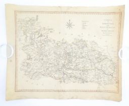
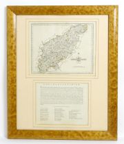
Map: A 19thC engraved map of West Riding, titled A Map of the North Part of the West Riding of
Map: A 19thC engraved map of West Riding, titled A Map of the North Part of the West Riding of Yorkshire after John Cary. Approx. 16 1/4" x 21 1/4...
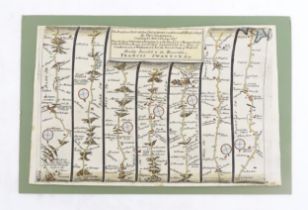
Map: An 18thC engraved strip map with hand colouring titled The Road from Oxford to Salisbury by
Map: An 18thC engraved strip map with hand colouring titled The Road from Oxford to Salisbury by Thomas Gardner. Approx. 7 1/4" x 10 3/4"Please No...
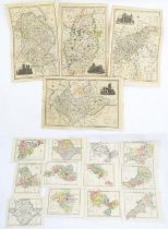
Maps: A quantity of assorted engraved and hand coloured maps to include Northamptonshire, Nottinghamshire, Lincolnshire, Leicestershire & Rutlands...
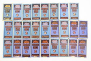
A quantity of assorted 20thC Bartholomew road maps to include Cambridge, Dorset, New Forest, Sussex,
A quantity of assorted 20thC Bartholomew road maps to include Cambridge, Dorset, New Forest, Sussex, Warwickshire, Merseyside, Norfolk, English La...
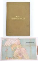
Maps: A 20thC Map of England and Wales on two folding cloth sheets North Sheet and South Sheet, with
Maps: A 20thC Map of England and Wales on two folding cloth sheets North Sheet and South Sheet, with Index Guide to Map. Published by The Chart Pu...
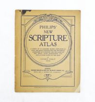
Maps: Philips' New Scripture Atlas, to include maps and plans illustrating the historical geography of Palestine and the Lands of the Bible, by Ge...