Filtered by:
- Category
- List
- Grid
This auctioneer has chosen to not publish their results. Please contact them directly for any enquiries.
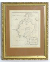

Map: An 18thC engraved map of Venezuela titled Plan du Port Cabello a la Coste de Caraque, after
Map: An 18thC engraved map of Venezuela titled Plan du Port Cabello a la Coste de Caraque, after Jacques-Nicolas Bellin. Approx. 9" x 7"Please Not...
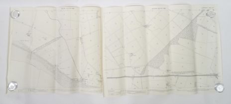
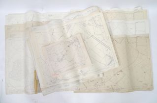
A quantity of early 20thC 1:2500 Ordnance Survey maps, area of Aberporth , Cardigan (Ceredigion),
A quantity of early 20thC 1:2500 Ordnance Survey maps, area of Aberporth , Cardigan (Ceredigion), Wales 1905-1906 (5)Please Note - we do not make ...
Two 1899 1:2500 Ordnance Survey maps, Dumfriesshire , Scotland area, depicting Newbie Castle and the
Two 1899 1:2500 Ordnance Survey maps, Dumfriesshire , Scotland area, depicting Newbie Castle and the Glasgow & South Western Railway between Dumfr...
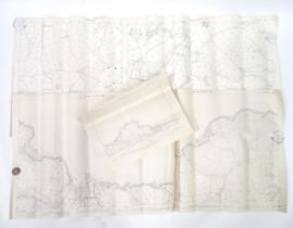
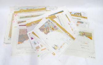
A quantity of 20thC 1:50km Hydrogeological maps, areas including Chilterns and Downs, Hampshire,
A quantity of 20thC 1:50km Hydrogeological maps, areas including Chilterns and Downs, Hampshire, South Downs, East Yorkshire, Scotland, England & ...
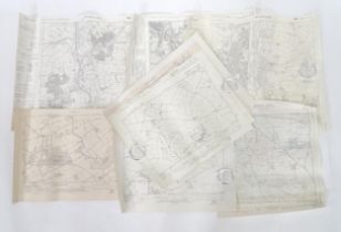
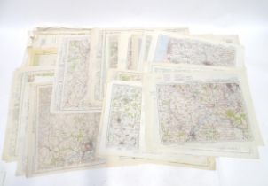
A quantity of 20thC 6" : 1 mile Ordnance Survey maps, areas including Bulford, Tidworth, Dalton
A quantity of 20thC 6" : 1 mile Ordnance Survey maps, areas including Bulford, Tidworth, Dalton Furness and Barrow in Furness etc (9)Please Note -...
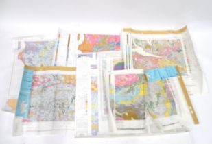
A quantity of 20thC British Geological Survey (Scotland) maps, areas including Irvine , Glasgow ,
A quantity of 20thC British Geological Survey (Scotland) maps, areas including Irvine , Glasgow , Falkirk , Aberdeen , Airdrie etc (7)Please Note ...
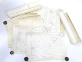
Buckinghamshire local interest : a quantity of early 20thC Ordinance Survey 6" : 1 mile maps ,
Buckinghamshire local interest : a quantity of early 20thC Ordinance Survey 6" : 1 mile maps , locations including Pitchcott - Oving , Fleet Marst...
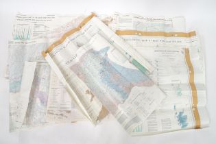
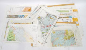
A quantity of 20thC British Geological Survey maps, various scales, locations including Bourne ,
A quantity of 20thC British Geological Survey maps, various scales, locations including Bourne , Stockton , Glasgow , Melton Mowbray , Birmingham ...
Buckinghamshire local interest : a quantity of 20thC 1 : 25,000 Ordnance Survey maps, locations
Buckinghamshire local interest : a quantity of 20thC 1 : 25,000 Ordnance Survey maps, locations including Kingswood , Chilton , Waddesdon , Upper ...
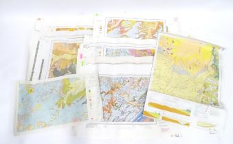
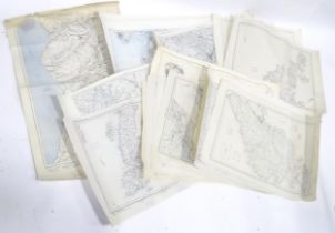
A large quantity of 20thC 1" : 1 mile British Geological Survey maps, various UK locations (approx
A large quantity of 20thC 1" : 1 mile British Geological Survey maps, various UK locations (approx 90)Please Note - we do not make reference to th...
A large quantity of 20thC 1" : 1 mile British Geological Survey maps, various UK locations (approx
A large quantity of 20thC 1" : 1 mile British Geological Survey maps, various UK locations (approx 30.)Please Note - we do not make reference to t...
A large quantity of mid-20thC 1" : 1 mile Ordnance Survey maps of British locations, including the
A large quantity of mid-20thC 1" : 1 mile Ordnance Survey maps of British locations, including the Midlands and South East of England (approx 50)...
A large quantity of mid-20thC 1/2" : 1 mile Ordnance Survey maps of British locations, areas
A large quantity of mid-20thC 1/2" : 1 mile Ordnance Survey maps of British locations, areas including the Highlands & Islands of Scotland, Northe...
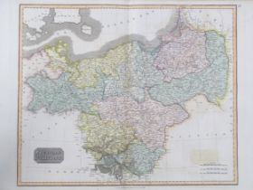
Map: A 19thC engraved map titled Prussian Dominions after John Thomson, for Thomson's New General
Map: A 19thC engraved map titled Prussian Dominions after John Thomson, for Thomson's New General Atlas, 1814, with hand coloured detail. Approx. ...
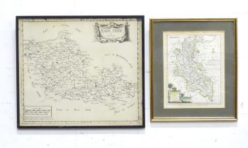
Two 20thC engraved maps to include a map of Buckinghamshire after John Ellis, and a map of Berkshire. Largest approx. 14 1/2" x 16 1/2" (2)Please ...
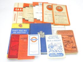
A quantity of mid 20thC maps, including Geographia Ramblers' Map - Isle of Wight, Ordnance Survey
A quantity of mid 20thC maps, including Geographia Ramblers' Map - Isle of Wight, Ordnance Survey one-inch maps - Cardiff, Buckingham, The Chilter...
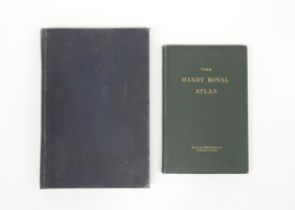
Maps: Two atlases comprising The Handy Royal Atlas, and The Times Atlas 1900 (2) Please Note - we do
Maps: Two atlases comprising The Handy Royal Atlas, and The Times Atlas 1900 (2)Please Note - we do not make reference to the condition of lots wi...
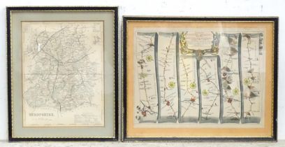
Two maps comprising a map of Shropshire after Joshua Archer, and a road / strip map showing the road
Two maps comprising a map of Shropshire after Joshua Archer, and a road / strip map showing the road from Gloucester to Montgomery North Wales aft...