Filtered by:
- Category
5 items
- List
- Grid
A subscription to the Price Guide is required to view results for auctions ten days or older. Click here for more information
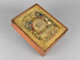

A Late Victorian Boxed Jigsaw Puzzle, Superior Dissected Map of England and Wales, 24x19cms
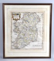
A Framed 17th Century Map, The Kingdom of Ireland, By Robert Morden, 1695, 37x43cms
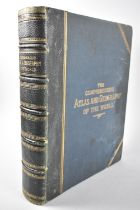
A Bound Victorian Atlas, "The Comprehensive Atlas and Geography of the World", Printed by Blackie & Son 1883
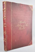
A Large Bound Black' Atlas of The World, 1870, New and Revised Edition
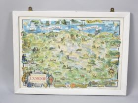
A Framed Map Print, A Part of Somerset, Exmoor and North Devon